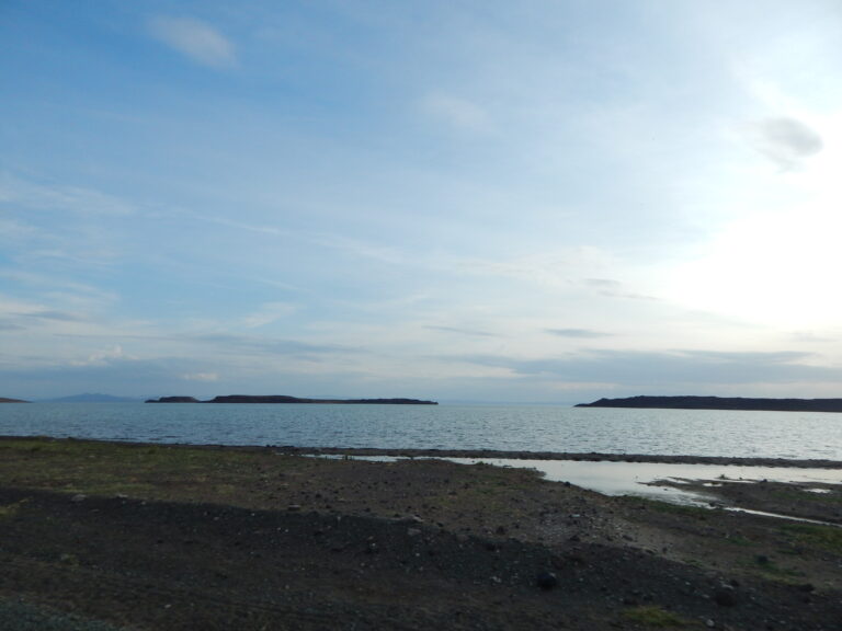
Wilderness Alternative Expedition guide to Northern Kenya
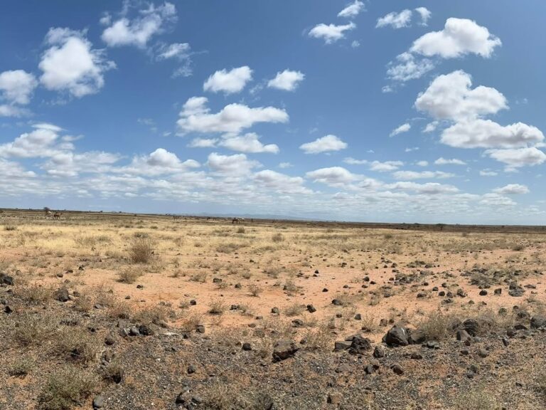
North of Isiolo, Kenya begins to change its proportions. The road runs beyond the last dense belt of small farms and the country loosens into dry rangeland. Distances that looked modest on a map become a morning’s work. The horizon is no longer a backdrop but part of the route: a line of hills may remain ahead for hours, then resolve into the Mathews or Ndoto Mountains, forested high ground rising unexpectedly from thorn scrub and stone.
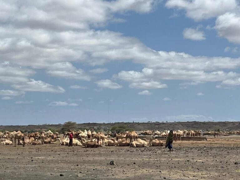
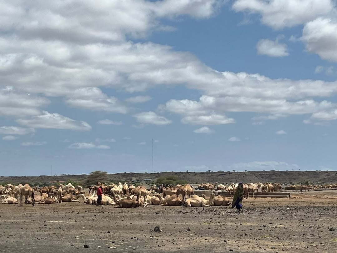
Travel here is not a search for an empty landscape. Northern Kenya is inhabited country, shaped by towns, grazing systems, wells, seasonal rivers, markets, conservancies and old routes between communities. Samburu herders move cattle and small stock through one part of the north; camels become more prominent as the land dries; Rendille, Borana, Gabra, Turkana, El Molo and other communities hold different histories and relationships with water, livestock and place. Wildlife moves through many of the same spaces. Elephants do not recognise the neat distinction between a reserve and community land, and Grevy’s zebra survive largely beyond formal park boundaries.
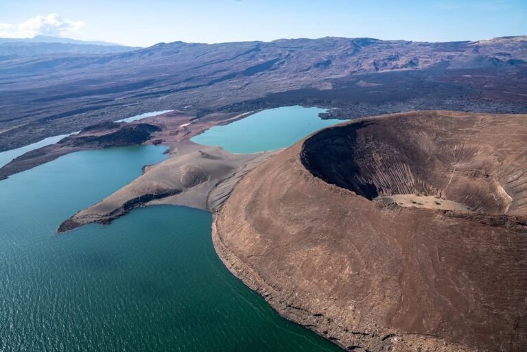
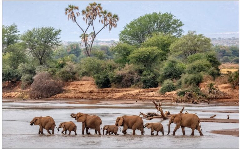
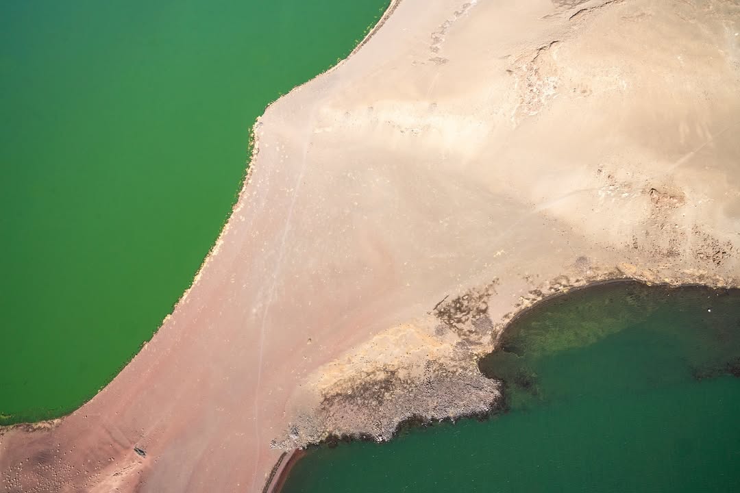
The geography changes faster than the map suggests. Around the Ewaso Nyiro, doum palms and riverine woodland hold elephant and leopard against an ochre plain. The Mathews Range gathers cloud over dry lowlands. Mount Marsabit rises from the desert as a cool volcanic highland, with forest around crater lakes. Beyond it, the Chalbi basin flattens into salt, clay and mirage. Then, after hours of pale ground and black lava, Lake Turkana enters the view: water on a scale that seems improbable in such arid country, its colour shifting from blue to jade beneath a hard wind.
This sequence is the reason to travel overland. A flight can save time, and sometimes it is the right answer, but it cannot show agriculture thinning into rangeland, the first camel beside the road, the air cooling on Marsabit or the visual shock of descending towards the lake. In the north, the journey between named destinations is not dead mileage. It is where Kenya’s ecological and human geography becomes legible.
It is also why experienced logistics matter. Road surfaces can change from tarmac to corrugation, stone, sand or wet clay in a single day. Fuel range, drinking water, tyre condition, communications, community permissions, weather and the position of the next reliable camp all influence the route. This is not danger dressed as adventure. It is expedition travel: careful preparation creating enough calm and flexibility for guests to notice what is around them.
For us, Northern Kenya is not one product. It can be a wildlife journey through Samburu and Buffalo Springs; a slower mountain-and-community route into Namunyak and the Ndotos; a geological progression through Marsabit and the Chalbi; or a serious Lake Turkana expedition continuing towards Sibiloi and Koobi Fora. The right northern journey is the one paced for the landscape, the season and the traveller—not the one with the greatest number of names compressed into the fewest days.
Choose your northern journey
You do not need to read the whole region before understanding the main choices. Begin with the landscape and pace that should carry your journey.
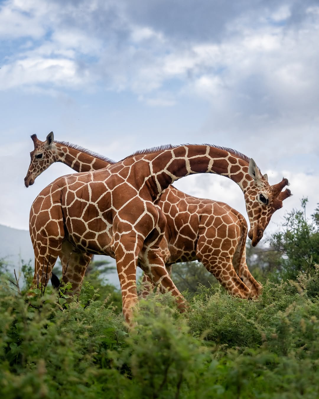
Samburu & the northern reserves
Choose this for dry-country wildlife, the Ewaso Nyiro River and the clearest safari introduction to the north. Elephant, reticulated giraffe, Grevy’s zebra, gerenuk and Beisa oryx share a river system whose importance is easiest to understand during a patient private game drive.
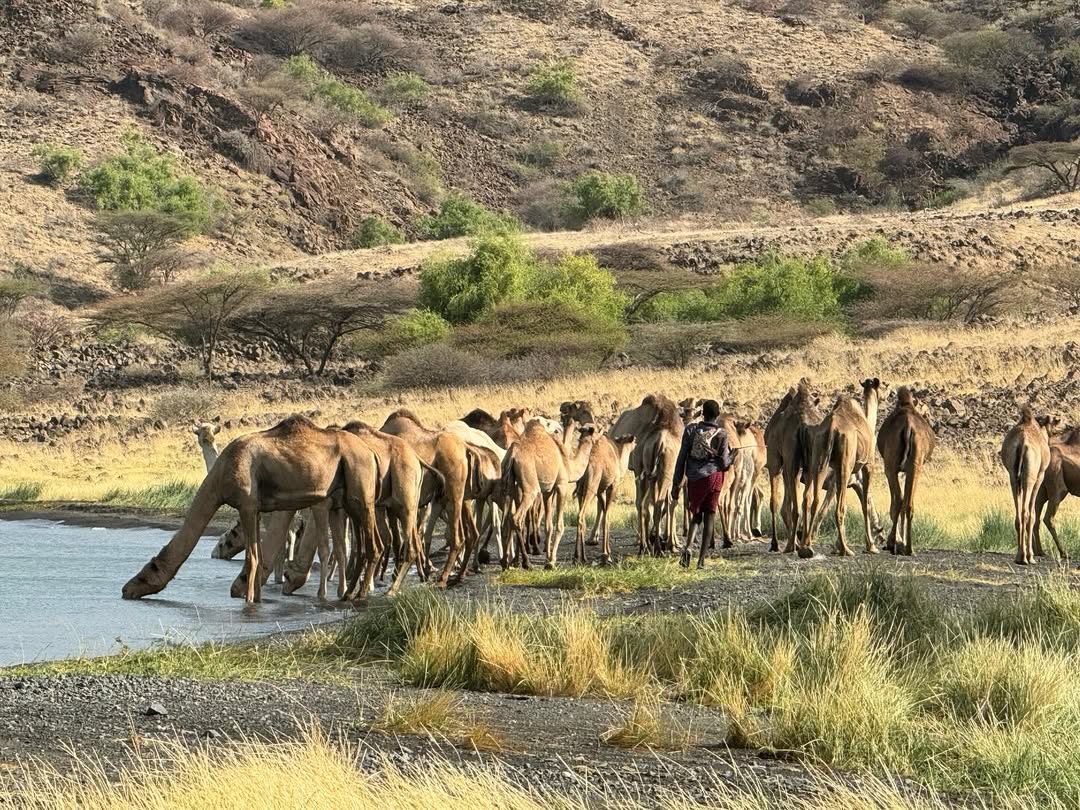
Marsabit, Chalbi & the road north
Choose this when landscape transition should carry the journey. The route climbs from hot lowlands into Marsabit’s volcanic forest, crosses a former lakebed and continues through a country of wells, livestock, lava and long light.
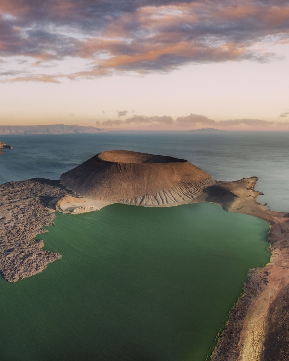
Lake Turkana
Choose the lake for volcanic shorelines, immense water, wind, fishing settlements and a journey that can extend into archaeology and the protected country of Sibiloi. Turkana is a flagship destination, not an incidental last stop.
Mathews Range & Namunyak
Choose the mountains for the contrast between forested ridges and the hot Samburu lowlands. Access and walking must be arranged through current local operators and community structures; this is not a place to arrive with an assumed right of entry.
Ngurunit & the Ndotos
Choose Ngurunit as part of a carefully researched expedition route rather than as a standalone promise. The settlement lies among the northern Ndoto massifs, where dry riverbeds, mountain water and huge gneiss formations create a different scale from the plains.
Sibiloi & Koobi Fora
Choose the far north-eastern shore when archaeology, geology and human origins are central. This extension needs additional expedition days, park and museum coordination, conservative fuel and water planning, and a genuine appetite for long overland travel.
Northern Kenya at a glance
- Best for: private expeditions, repeat safari travellers, landscape and wildlife photographers, geology and archaeology, and guests interested in how people and wildlife share dry country.
- Time to allow: five or six nights for Samburu with one mountain chapter; eight to twelve days for a meaningful Marsabit–Chalbi–Turkana journey; longer for Sibiloi and Koobi Fora.
- Travel style: private four-wheel-drive expedition, occasionally combined with a confirmed charter flight.
- Comfort: a mixture of excellent small lodges, simple camps, guesthouses and expedition camping, selected for route logic rather than a promise of identical luxury every night.
- Weather: heat, wind and rain affect different sectors differently. Recent local reports matter more than a single region-wide season label.
Why travel north?
The classic Kenyan safari circuit is built around concentrated wildlife areas and established lodge networks. Northern Kenya can include excellent game viewing, but its larger reward is the relationship between places. A herd of elephants in Samburu is part of a river story. Forest on Marsabit is part of a volcanic and climatic story. A Chalbi crossing belongs to an ancient lake basin, not a scenic lay-by. Turkana’s shoreline connects geology, fishing economies, protected islands and an archaeological record of global importance.
That breadth changes the rhythm of a journey. One day may begin with gerenuk feeding in acacia scrub and end beneath a mountain ridge. Another may contain little large wildlife but reveal how settlements gather around boreholes, why volcanic rock makes a road slow, or how the colour of Lake Turkana changes as wind lifts the water. Guests who need a lion every morning may prefer a reserve-led itinerary. Guests who enjoy learning how a landscape works usually find the north difficult to forget.
Understanding the geography
The Ewaso Nyiro and dry-country reserves
Samburu National Reserve lies north of the Ewaso Nyiro, with Buffalo Springs on the southern side and Shaba farther east. Although marketed together, they are not copies. Samburu’s river frontage can be busy with wildlife and vehicles; Buffalo Springs combines riverine country with open plains and springs; Shaba feels wider and more volcanic, with rocky hills and a different sense of distance. Current river flow, grazing, fire and rainfall all influence where animals gather.
Doum palms and dense riverbank vegetation provide shade and browse in a landscape where surface water is limited. Elephants move to and from the river, predators use the cover, and bird activity changes sharply between woodland and open scrub. The celebrated northern species—Grevy’s zebra, reticulated giraffe, gerenuk, Beisa oryx and Somali ostrich—are useful introductions to dry-country adaptation, but a checklist is only the beginning.
Mathews, Ndoto and the mountain islands
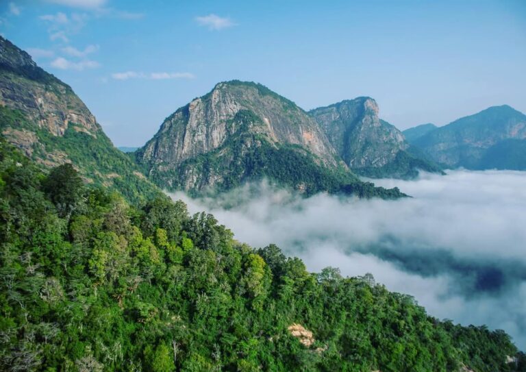
From a distance, the Mathews and Ndoto ranges can look almost misplaced: dark, folded mountains rising from a tawny plain. Elevation intercepts moisture. Ravines hold water longer; slopes support bush and forest that would not survive on the surrounding lowlands; temperatures fall after sunset. These ranges are ecological islands as well as landmarks used by communities moving through the wider rangeland.
Namunyak Community Conservancy lies in the Mathews landscape and is owned by the local community. Its conservation story includes elephant habitat and the community-owned Reteti Elephant Sanctuary. That does not make every forest trail or sanctuary visit automatically available. Walking, camp access and conservation visits must be checked for the dates, arranged through the correct local partners and described honestly.
Mount Marsabit: a forest built by altitude
Marsabit answers one of the north’s most compelling questions: how can dense forest exist in the middle of such dry country? The mountain is an old volcanic massif. As its slopes rise above the lowland heat, moisture condenses, temperatures fall and montane vegetation becomes possible. From the approach road the transformation can be abrupt—dust and sparse thorn giving way to a cooler town, then to forest around volcanic craters.
Marsabit National Park protects three crater lakes and forest habitat associated with elephant, greater kudu, Grevy’s zebra, reticulated giraffe, leopard and a rich bird community. Lake Paradise is the best-known crater, but the value of Marsabit is not a single viewpoint. It is the physical transition into high ground, the smell and sound of forest after days of aridity, and the understanding that northern Kenya contains refuges created by elevation.
The mountain is also a cultural and transport crossroads rather than an isolated park island. The town, markets, museum and surrounding settlements matter to the route. We plan enough time for the park and the practical needs of an expedition—fuel, supplies, checks and rest—before the road crosses into the Chalbi basin.
The Chalbi: travelling across an old lakebed
The Chalbi is a former lake basin, a broad floor of clay, salt and mineral sediment east of the Kenyan Rift. In hard dry conditions it can look bleached almost white, with low ridges and volcanic outcrops floating in mirage. Wind moves dust across the surface. At midday, scale becomes difficult to judge; toward evening, tyre tracks and salt polygons catch the low light.
The desert should not be reduced to a fast photograph beside a vehicle. Its power is cumulative. The crossing exposes guests to heat, distance and the mechanics of moving through arid country. It also requires judgement. After rain, the same flat surface can become soft, adhesive and impassable. A driver who turns back or chooses the longer firm route is not diminishing the expedition; that decision is the expedition competence guests are paying for.
The margins of the basin are lived in. Gabra and other communities manage livestock around a variable network of pasture and water, and settlements cannot be treated as scenery arranged for a visitor. Community encounters are organised through people we know, with permission and clear benefit, not improvised because a camera sees colourful clothing beside the road.
Lake Turkana: water at the end of the horizon
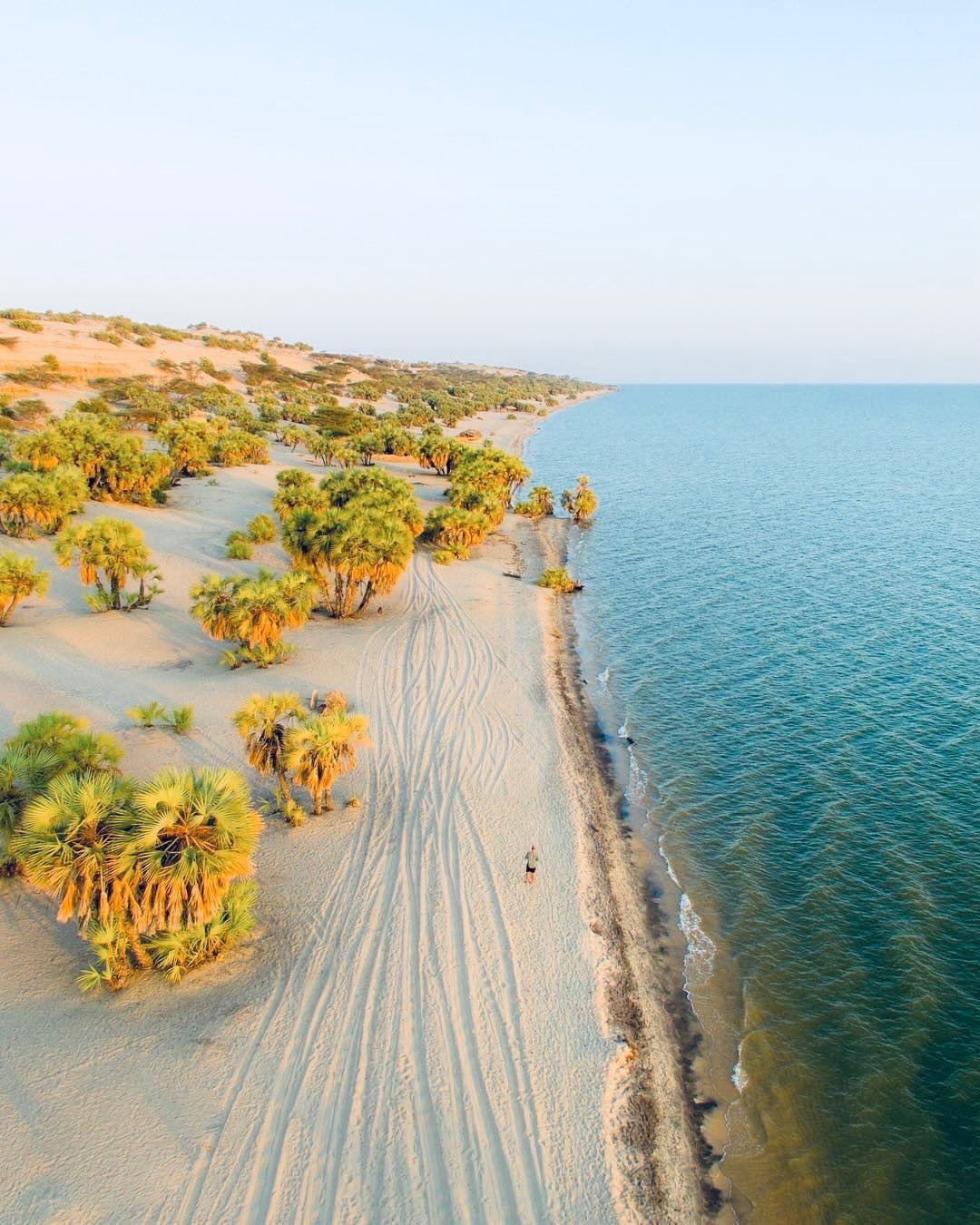
Lake Turkana occupies the northern Kenyan Rift as the world’s largest desert lake. Its scale can be deceptive: from one shore the opposite land may disappear, and wind can raise short, steep waves quickly enough to alter boat plans. Black and brown volcanic rock meets green-blue water; pale beaches and doum palms appear in other sections; islands and cones show how active geological processes shaped the basin.
Loiyangalani on the south-eastern shore is a practical and cultural base, not the whole lake. Central Island lies offshore and requires confirmed boat arrangements. Farther north, Sibiloi National Park protects extensive semi-desert and fossil-bearing landscapes, while Koobi Fora on the eastern shore is one of the world’s most important places for studying human evolution. These are distinct journeys. They should not be listed as if all can be added to a two-night lake stay.
Wildlife beyond the classic parks
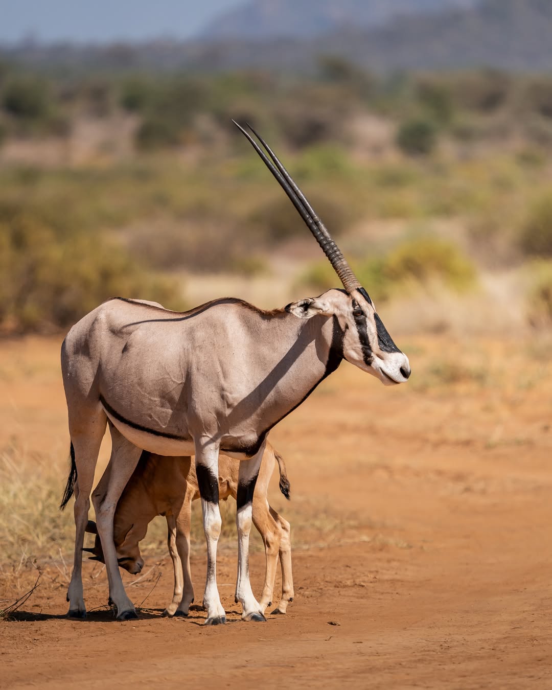
Northern Kenya supports elephant, lion, leopard, cheetah and African wild dog alongside species strongly associated with arid country. Reticulated giraffe browse where their patterned coats break against thorn and broken shade. Gerenuk stand upright to reach leaves. Beisa oryx regulate heat and move through exposed ground. Grevy’s zebra, larger and more narrowly striped than plains zebra, depend heavily on community rangelands; formal reserves are important refuges, not their entire world.
Wildlife density is uneven and changes with water and rain. Samburu’s river system can produce concentrated viewing, while a day farther north may offer one memorable elephant crossing or a distant bustard rather than a crowded sightings list. Our guiding explains absence as well as presence: tracks in a sand river, browse height, the direction of livestock, cloud building over a range and the condition of a water point all say something about where animals can live.
People and pastoral landscapes
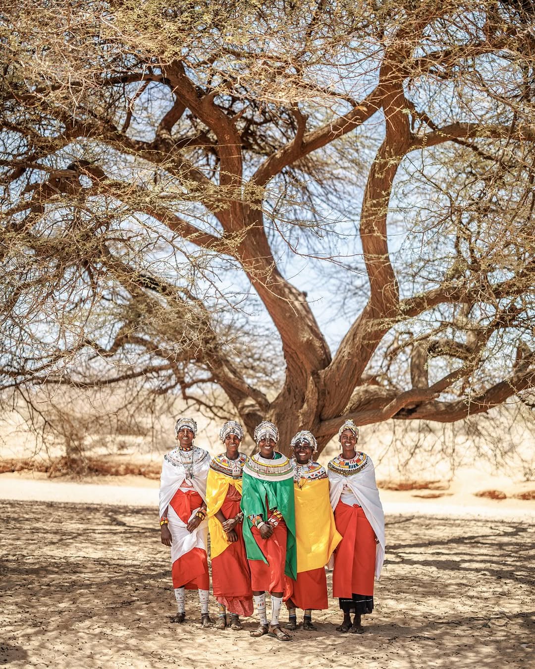
The word pastoral describes a livelihood system, not a costume. Livestock convert sparse, seasonal vegetation into food and wealth; mobility responds to rainfall, grazing and water; towns, schooling, wage work, trade and mobile communication are part of contemporary northern life. The region includes Samburu, Rendille, Borana, Gabra, Turkana, El Molo and other identities with their own languages, histories and political realities. We do not compress them into a single “tribal experience”.
A worthwhile visit may involve a local guide, a women’s group, a market, a conservation team, a museum or a host family, but the shape of that encounter must come from the people involved. We agree access and fees, ask before photographing, and accept refusal without negotiation. Children, homes, ceremonies and livestock work are not public performances because a guest has travelled far.
Photography: distance, heat and scale
Northern Kenya asks a photographer to work beyond the close animal portrait. A wide lens can place a Land Cruiser beneath a mountain wall, describe the geometry of the Chalbi or show how little of Lake Turkana fits inside one frame. A telephoto lens can compress successive ridges, isolate a camel caravan in heat haze or separate a Grevy’s zebra from patterned thorn.
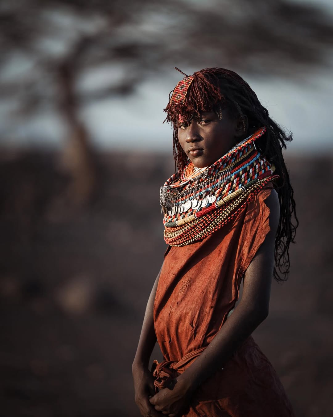
The difficult light is part of the place. Salt reflects hard midday sun; black lava can close into featureless shadow; fine dust softens contrast; mirage disrupts detail; dark skin and bright beadwork demand careful exposure. Kenny works with guests on position, focal length and timing before the moment arrives. He also helps protect equipment from dust and makes clear where photography must yield to animal welfare or human consent.
Expedition logistics: why the details matter
Roads and vehicles
The surfaced A2 has transformed access through Isiolo to Marsabit and Moyale, but the most rewarding routes leave the tarmac. Corrugations loosen fittings and tire passengers. Sharp volcanic stone punishes tyres. Deep sand requires momentum; wet clay requires restraint. Flash floods can cut a seasonal river crossing after rain has fallen far away.
We use a suitable four-wheel-drive vehicle, carry recovery equipment, first aid, drinking water, communication and conservative fuel reserves, and avoid unnecessary night driving. Two vehicles may be prudent for larger groups or remote specialist sectors. The model badge matters less than preparation, load, tyre condition and the judgement to stop before a difficult surface becomes a recovery problem.
Fuel, water and communications
Fuel availability cannot be inferred from a map pin. We calculate range with diversions and rough-road consumption, not only the direct distance. Drinking water is carried independently of the next camp. Mobile coverage is improving around towns but remains inconsistent between them, so remote sectors need a communication plan that does not depend on a guest’s phone.
Flying and hybrid routes
Charter flights can protect time and make a one-way expedition practical, but airstrips, operators, baggage limits and ground transfers must be confirmed for the date. A hybrid design often works well: drive north through Samburu, Marsabit and Chalbi so the landscape unfolds, then fly out of the lake region if a safe charter and transfer are operational. Scheduled services should never be promised from an old timetable.
Accommodation
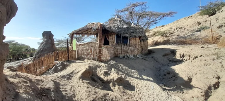
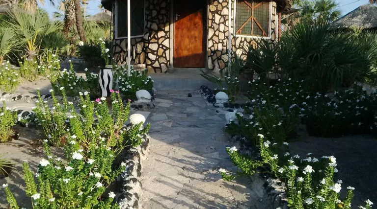
The range runs from refined small lodges to simple camps, local guesthouses and expedition camping. Electricity, hot water, refrigeration, Wi-Fi and card payment cannot be assumed. We describe comfort accurately, but remoteness is not an excuse for poor hygiene or careless camp practice. Each overnight is chosen for route logic: an attractive property that adds three hours to the following morning may be the wrong property.
Best time to travel
There is no single northern season. Drier months usually provide firmer desert crossings and clearer road planning, but also bring dust, greater heat and pressure around water. Rain can green the rangelands, clear the air and produce superb photography while closing clay pans and river crossings. On Lake Turkana, wind can stop boating under a cloudless sky.
We therefore plan with current reports from drivers, camps, park staff and local contacts. Dawn starts protect energy and light; midday may be used for a transfer; contingency time lets the route change without turning safety into a race against a printed itinerary.
How a northern expedition unfolds
A strong route has progression rather than repetition. Samburu introduces dry-country wildlife and the Ewaso Nyiro. Namunyak or the Ndoto country changes the scale through mountains and community land. Marsabit brings forest, altitude and resupply. Chalbi strips the view to salt, wind and horizon. Lake Turkana delivers water, volcanic shore and a distinct set of communities. Sibiloi and Koobi Fora extend the story into deep time.
That sequence can be shortened, but it should not be hurried. Five or six nights can combine Samburu with the Mathews landscape or Marsabit. Eight to twelve days is a more honest starting point for Marsabit, Chalbi and Lake Turkana. Sibiloi and Koobi Fora require additional days because the far north-eastern shore is not a casual excursion from Loiyangalani.
Lake Turkana: a flagship within the region
Lake Turkana remains canonically part of Northern Kenya, yet it deserves direct commercial visibility. It is not a decorative final image after a desert crossing. The lake determines weather, settlement, fishing, transport and the shape of protected areas across an enormous basin. It also offers one of Kenya’s strongest photographic contrasts: green water against black volcanic rock and pale arid shore.
Our Lake Turkana journey is designed around the part of the lake that matters to the guest. Loiyangalani and the south-eastern shore suit an overland Marsabit–Chalbi route. Central Island requires a safe, confirmed boat plan. Sibiloi and Koobi Fora belong to a longer expedition with park and museum arrangements. We do not imply that one hurried itinerary can do justice to every shore.
Ngurunit: a route chapter in the Ndotos
Ngurunit sits among the northern Ndoto Mountains on an expedition line between Samburu country, Marsabit and Turkana. It gives the road north a necessary pause: an opportunity to understand the transition between Samburu and Rendille country and the relationship between the dry lowlands, mountain water and the great gneiss formations above the settlement.
We include a locally guided mountain or river experience only when access, water, guide capacity and conditions have been confirmed for the date. Ngurunit is most meaningful as part of a properly paced route, not as a guaranteed activity inserted into every northern itinerary.
Journeys in Northern Kenya
These are the expedition shapes we are developing. They are planning frameworks, not fixed departures or published prices. Each will be quoted privately after vehicle, fuel, accommodation, park, community, boat and flight arrangements are checked for the actual dates.
7 days
Samburu, Marsabit, Chalbi & Lake Turkana
A compact overland progression from river wildlife to volcanic forest, former lakebed and the south-eastern Turkana shore. Best for travellers who accept long road days in exchange for clear landscape change.
8 days
The Northern Kenya Expedition
Samburu, the Mathews or Ngurunit route, Marsabit, Chalbi and Lake Turkana with more room for photography, community context and weather. The exact mountain chapter depends on current access.
6 days
Marsabit, Chalbi & Turkana Journey
A focused journey beginning farther north, built around forest, desert and lake rather than reserve-based game viewing.
Private expedition
Lake Turkana & Sibiloi
A longer specialist route for volcanic geography, protected lake country and the north-eastern shore, with Koobi Fora added only after museum and access logistics are confirmed.
Private expedition
Northern Kenya Photography
Private pacing around early and late light, wide environmental frames, dust protection and respectful portrait work. Route length depends on how much of Turkana and the mountain country is included.
Private journey
Samburu & Mathews Range
A shorter northern journey balancing river wildlife with community conservation and mountain landscape, subject to current camp and walking arrangements.
Responsible expedition travel
- Use local permission on community land and pay agreed access and guiding fees transparently.
- Carry out waste, minimise single-use plastic and protect scarce water points from camp or vehicle disturbance.
- Ask before photographing people, homes, ceremonies, livestock work or children; a long journey does not create entitlement.
- Use established tracks where possible and never drive a wet salt or clay surface merely to manufacture drama.
- Keep wildlife distance, particularly around elephants, water, nesting birds and animals moving across community land.
- Use local guides for place-specific knowledge and do not publish sensitive wildlife positions.
Northern Kenya FAQ
Is Northern Kenya suitable for a first safari?
Samburu can be an excellent first safari. A longer Turkana expedition suits travellers comfortable with heat, long transfers and flexible plans. We discuss expectations before recommending the route.
How many days do I need?
Five or six nights can combine Samburu with one mountain or Marsabit chapter. Eight to twelve days gives Marsabit, Chalbi and Lake Turkana a more honest pace. Add further days for Sibiloi and Koobi Fora.
Do we need four-wheel drive?
Yes for routes beyond the main tarmac. Preparation, tyres, recovery equipment and driver judgement matter as much as the vehicle badge.
Is camping required?
Not on every route. Some combinations use lodges and guesthouses throughout; specialist remote sectors may work better with a properly supported expedition camp. We explain the exact comfort level before booking.
Can we fly?
Charter flying is possible in parts of the north, but airstrip condition, operator availability, baggage and ground transfers must be confirmed. A drive-in/fly-out design is often more meaningful than flying both ways.
Can children travel?
Some families thrive here. Age, heat tolerance, road hours, medical needs and accommodation are assessed individually; there is no responsible one-size answer.
Can Northern Kenya combine with the Maasai Mara or coast?
Yes, usually through Nairobi or a confirmed air connection. The contrast is strong, but enough time must be allowed so the northern expedition does not become a rushed preface to another destination.
Plan a private Northern Kenya expedition
Tell us how many days you have, how you handle long road journeys, the balance you want between wildlife, landscape, culture and archaeology, your photographic priorities, and the level of comfort you need. We will build the route around current roads, safe daily distances and local relationships rather than force the north into a standard package.
Plan Northern Kenya with Wilderness Alternative Expedition
Email info@wildernessalternativeexpedition.com or WhatsApp +254 743 789 655.
Roads, community access, wildlife, boating, airstrips and accommodation remain subject to weather, permission and current local operations.