
Mount Kenya, known from the trail
One mountain. Six approaches—three principal gates and three specialist routes.
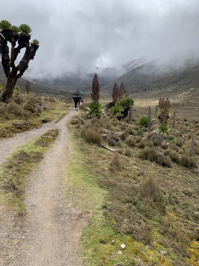
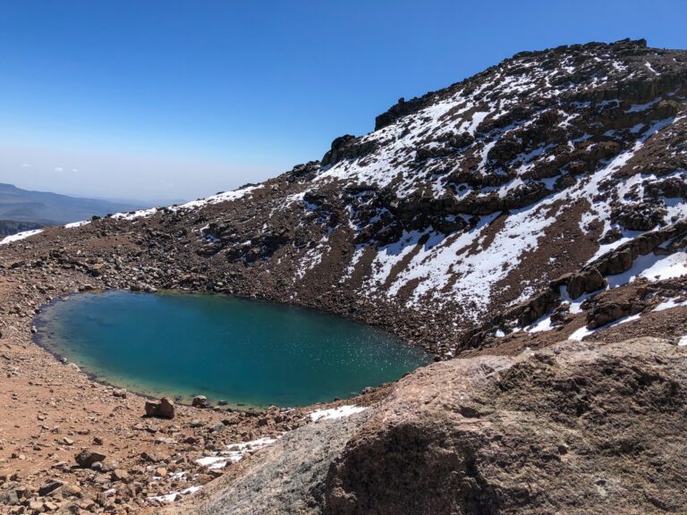
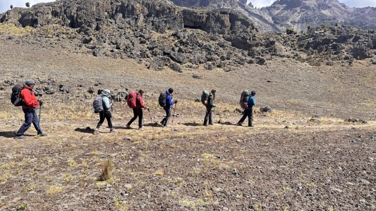
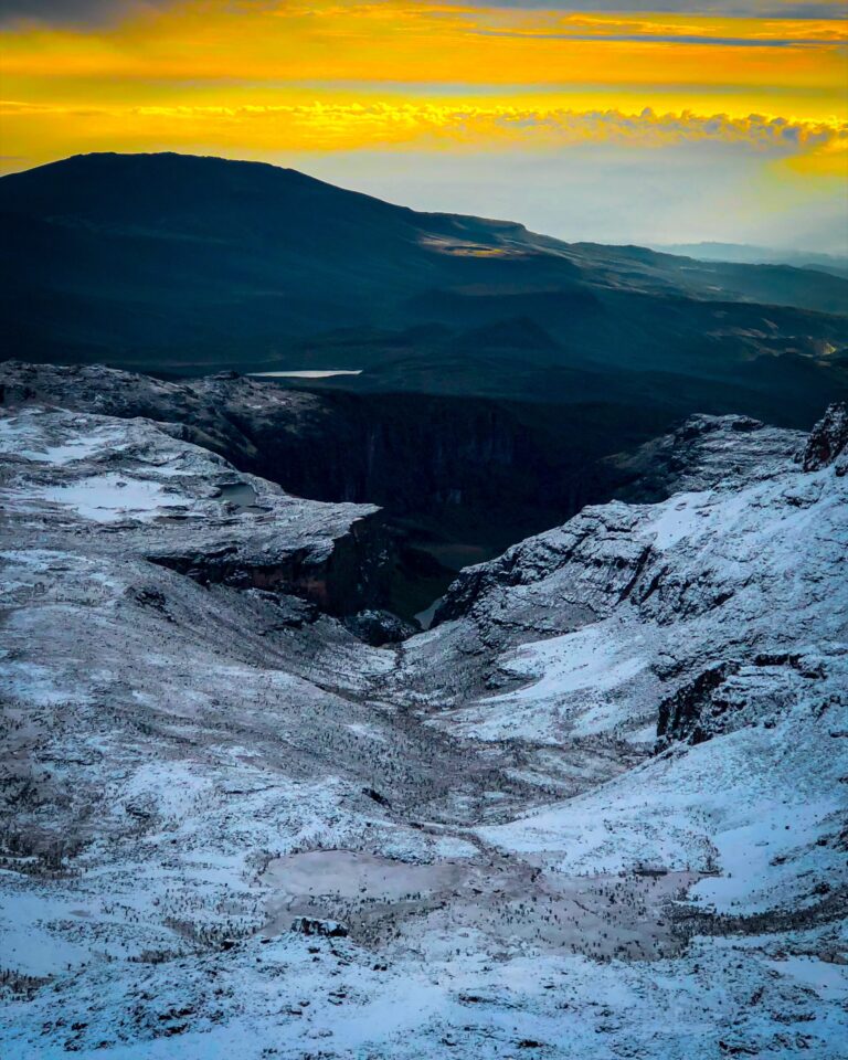
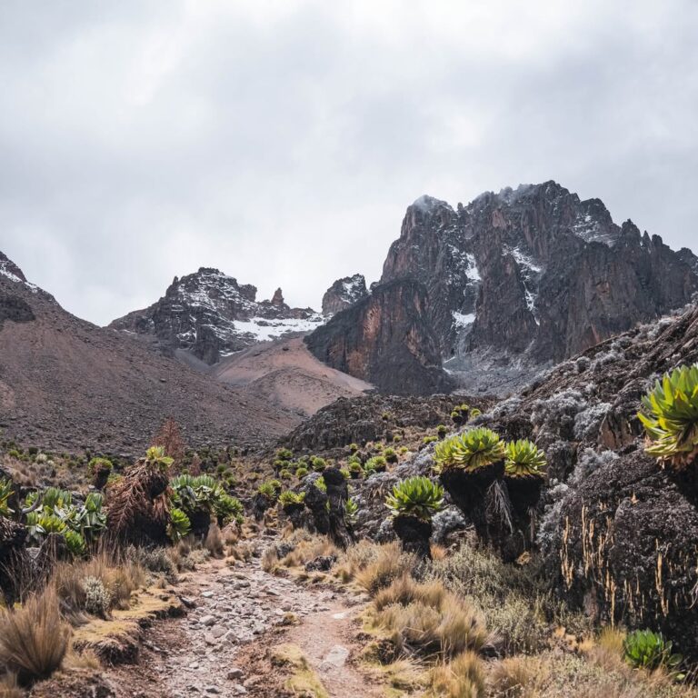
Mount Kenya does not reveal itself all at once. It is an ancient volcanic massif, worn open by ice and time into a world of radiating valleys, dark cliffs, high tarns and sharp rock towers. Every approach tells a different part of that story. The mountain begins in forest and bamboo, climbs through heath and open moorland, then narrows into the cold Afro-alpine country beneath the central peaks. You feel the landscape change around you long before the summit comes into view.
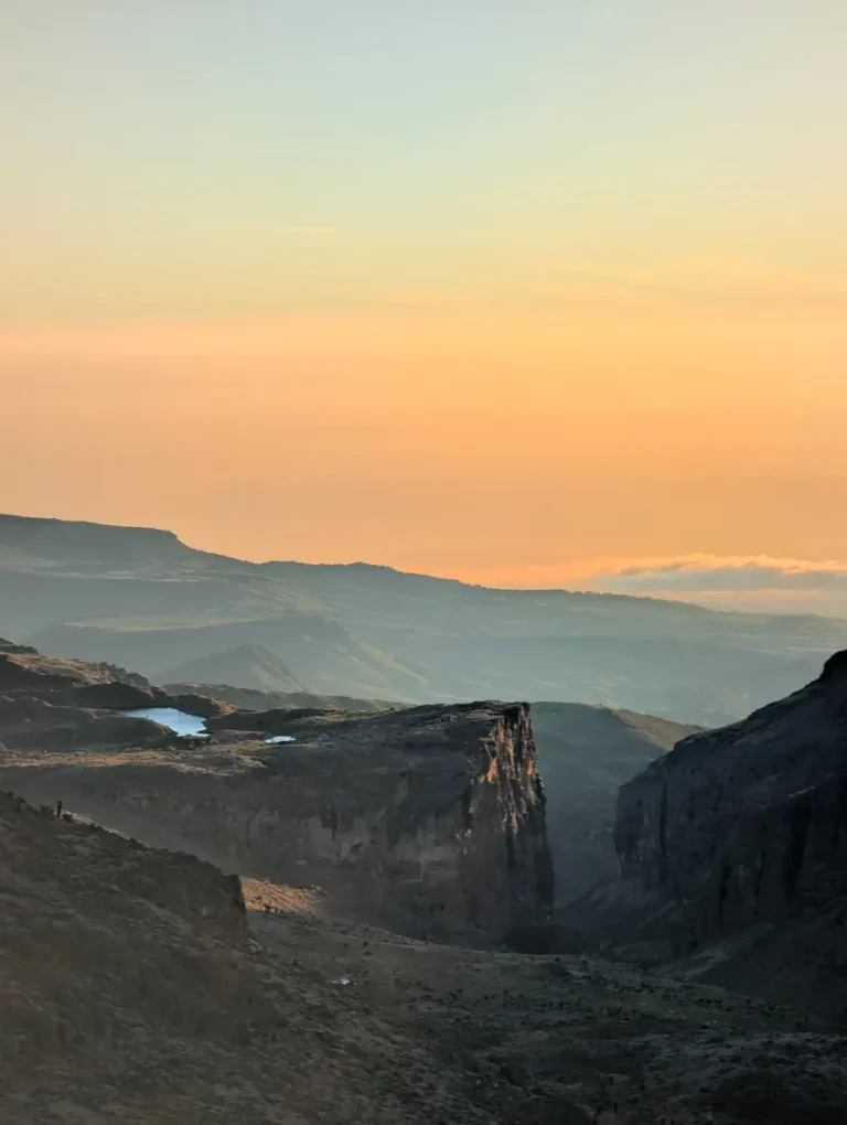
From the north, Sirimon rises steadily towards Mackinder Valley and Shipton’s Camp, with the main peaks gathering above the trail. From the east, Chogoria enters a broader, more intricate mountain: Lake Ellis, the long cliffs of Gorges Valley, Lake Michaelson, Hall Tarns and the Temple. Naro Moru takes the direct western line through forest, the Vertical Bog and Teleki Valley. Burguret comes in quietly through a less-travelled wilderness approach where the crew, the camp and good route knowledge matter from the beginning. Beyond the principal gates, Timau crosses the open northern foothills while Kamweti enters the wetter southern forest; both require live confirmation of access, route and camp logistics.
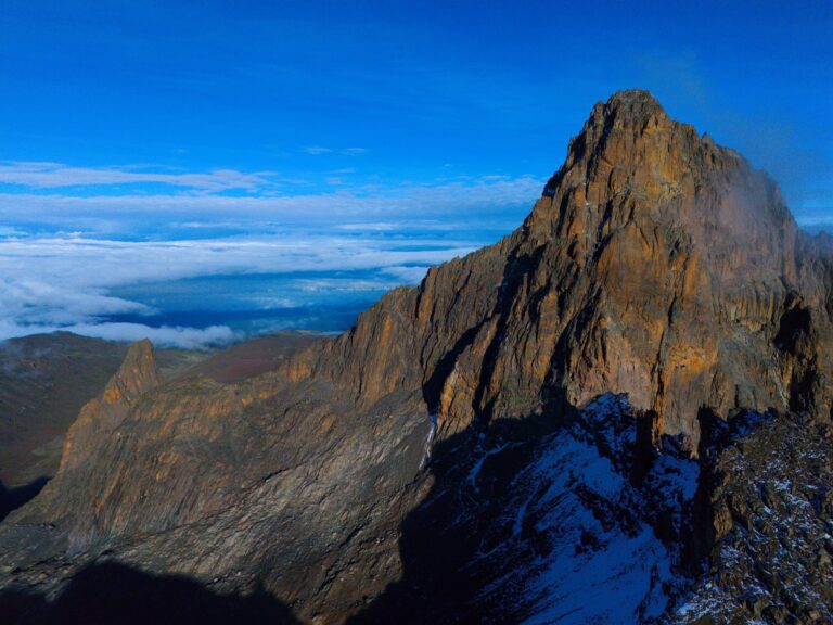
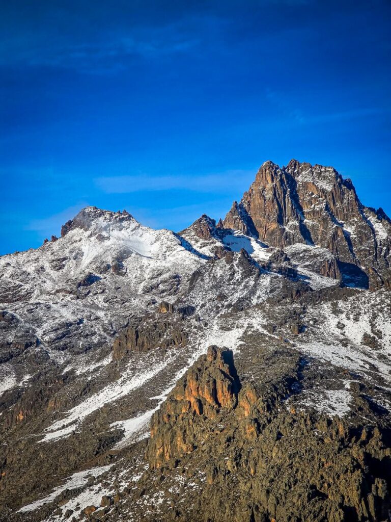
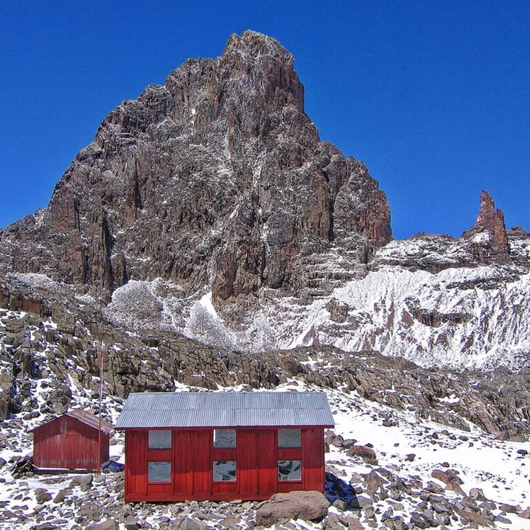
Above all six stand three names that must be understood clearly. Point Lenana, 4,985 metres, is the principal trekking summit. It is a demanding high-altitude objective reached on foot by well-prepared walkers. Nelion, 5,188 metres, and Batian, 5,199 metres, are technical alpine climbs involving ropes, multi-pitch rock climbing and a completely different level of preparation. A Point Lenana trek is not a lesser version of Batian; it is its own complete mountain journey.
Wilderness Alternative works on Mount Kenya as a Kenyan mountain company. Across our guiding team, more than 500 successful guided ascents of Point Lenana and more than 80 technical summit ascents of Batian inform how we plan: the route we recommend, the pace we set, the camps we build, the food we serve and the decisions our guides make as the mountain unfolds.
- Batian
- 5,199 m
Highest summit · technical climbing - Nelion
- 5,188 m
Technical alpine summit - Point Lenana
- 4,985 m
Principal trekking summit - Character
- Forest, moorland, glacial valleys, tarns and high volcanic rock
- Best journey
- Often a traverse: ascend by one route and leave by another
- Our approach
- Measured pacing, experienced crews and plans matched to the guest

Batian
The highest point on Mount Kenya and a serious technical rock climb. The North Face Standard Route is a major high-altitude objective, not an extension of the trekking trail.
Nelion
The second-highest summit, usually associated with the southern climbing season. Reaching it requires technical movement, exposed multi-pitch climbing and an involved descent.
Point Lenana
The mountain’s principal trekking summit. No ordinary walk, but achievable for many fit travellers when the route, number of days and acclimatisation plan are chosen well.
Your local mountain team
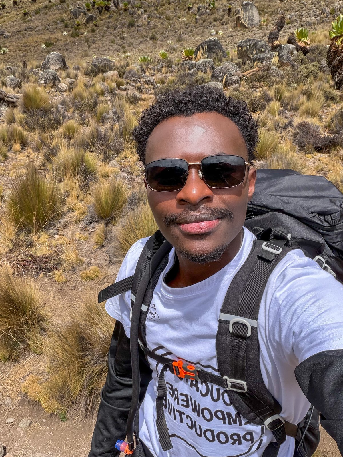
Meet Kenny
Kenny is the founder of Wilderness Alternative and an active Mount Kenya expedition guide. His work on the mountain shapes how every route, acclimatisation plan and crew day is designed.
Choose your route
The route changes the whole journey—not only the first day.
Choose by landscape, altitude profile and expedition style. The strongest Mount Kenya itineraries often combine two approaches, so the mountain never needs to be retraced.
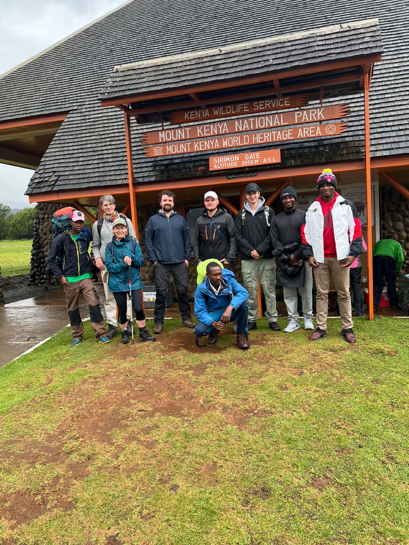
Sirimon Route
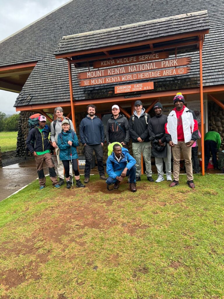
Sirimon gives the ascent room to develop. From the northern forest and Old Moses, the trail crosses open moorland, enters Mackinder Valley and finishes beneath the central peaks at Shipton’s. The progression is clear, the mountain views become steadily more dramatic and the route works especially well for a measured ascent.
Choose it for: progressive altitude gain, established camp locations, wide northern views and the classic Sirimon–Chogoria traverse.
Explore the complete Sirimon guide →
Chogoria Route
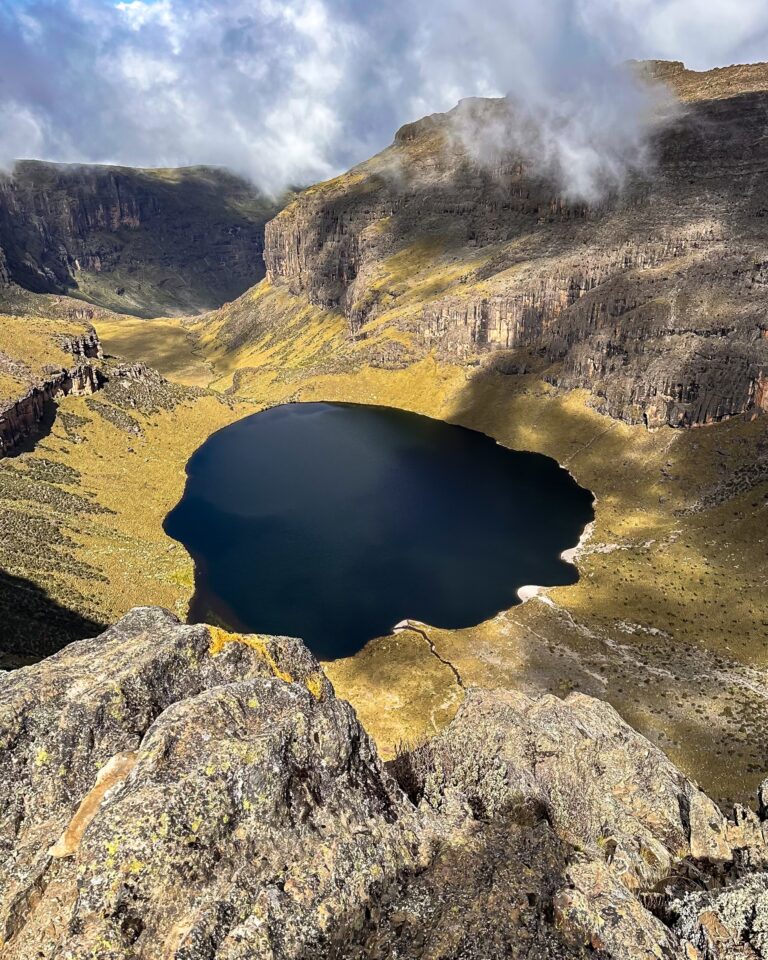
Chogoria is the great landscape route. Its eastern approach opens into lakes, cliffs, tarns and the long architecture of Gorges Valley. Camp locations and roadhead conditions shape how it is operated, while variations through Lake Ellis, Lake Michaelson and Hall Tarns can create very different days.
Choose it for: the richest scenery, a strong sense of journey and an outstanding finish after climbing by Sirimon.
Explore the complete Chogoria guide →
Naro Moru Route
Naro Moru is direct. The trail climbs from the western forest through the Vertical Bog and into Teleki Valley, with access towards Mackinder’s and the Austrian side of Point Lenana. Because it gains height efficiently, the wider itinerary must give acclimatisation the attention it deserves.
Choose it for: a direct western line, Teleki Valley and combinations that make purposeful use of its quick access to the high mountain.
Explore the complete Naro Moru guide →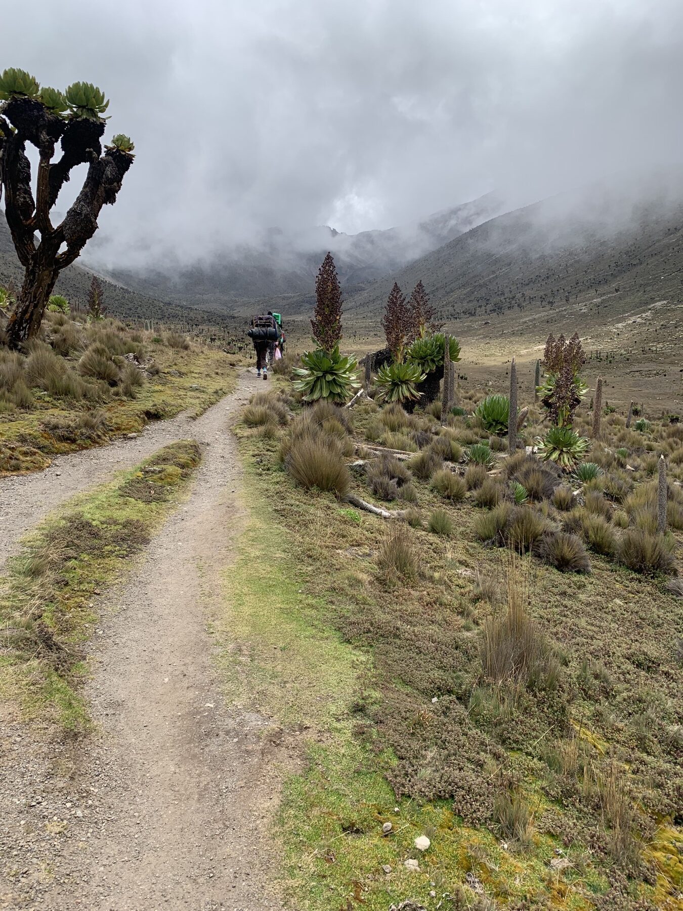
Burguret Route
Burguret is a quieter expedition approach through forest, bamboo, heath and open moorland. It has fewer built facilities and less trail traffic than the main routes, so the quality of navigation, camp systems and crew logistics becomes part of its appeal.
Choose it for: solitude, a wilder approach and travellers who value a fully supported camp journey over the convenience of the busiest lines.
Explore the complete Burguret guide →
Timau Route
Timau begins in the broad northern foothills and develops into open moorland and quieter high country. It is a specialist camping approach whose contemporary access, approved line, camps and water must be checked for the actual dates.
Choose it for: open northern landscapes, solitude and a route that feels far removed from the principal gates.
Explore the complete Timau guide →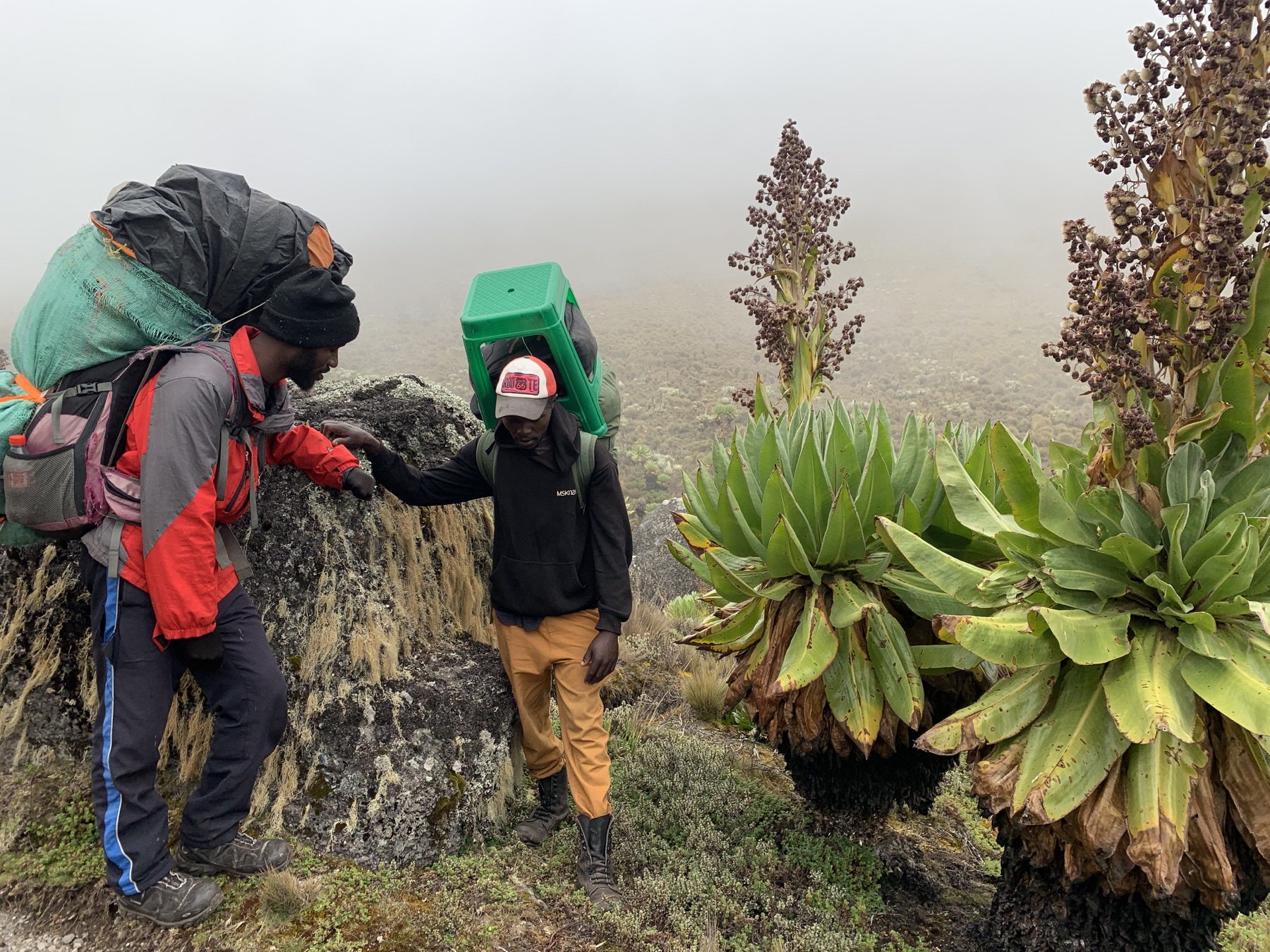
Kamweti Route
Kamweti is a forest-rich southern approach through bamboo, giant heather and exploratory camp-based country. Current access and the valid line towards the high mountain require advance confirmation.
Choose it for: deep forest, specialist route interest and an unusually quiet southern journey.
Explore the complete Kamweti guide →| Route | Physical character | Mountain experience | Typical use | Why choose it |
|---|---|---|---|---|
| Sirimon | A steady northern approach through open moorland into Mackinder Valley | Old Moses, broad valleys, Shipton’s and close central-peak views | Excellent ascent; also used as a north-side descent | A progressive approach and the natural partner to Chogoria |
| Chogoria | Longer and more intricate, with route variations among cliffs, lakes and tarns | Lake Ellis, Gorges Valley, Lake Michaelson, Hall Tarns and the Temple | Superb ascent or descent; frequently paired with Sirimon | The most expansive landscape journey on the mountain |
| Naro Moru | Direct western climb through forest, bog and Teleki Valley | Vertical Bog, Mackinder’s and the southern side of the peaks | Direct ascent or descent within a carefully paced plan | Efficient access and a distinct western landscape |
| Burguret | Less-defined wilderness approach with camping and stronger logistics | Quiet forest, bamboo, heath and remote moorland | Specialist approach connecting with the north-west high country | Low traffic, camp life and a true expedition feel |
| Timau | Open northern approach with limited infrastructure and a long transition | Farmland, broad moorland and quiet northern valleys | Specialist camping route subject to current approval | Solitude and expansive northern landscapes |
| Kamweti | Forested southern approach with route-finding and camp logistics | Montane forest, bamboo, giant heather and southern high country | Specialist route subject to current access confirmation | Forest immersion and an exploratory journey |
Beyond the three principal gates: Sirimon, Naro Moru and Chogoria are the main official-gate approaches. Burguret, Timau and Kamweti are less-used specialist routes whose access, permissions, current line, camps and water are confirmed before a programme is offered. We match every recommendation to the dates, guest and live conditions rather than treating an old route description as a fixed promise.
Mount Kenya journeys
A route is the geography. A journey is how we use it.
The number of days, sleeping heights, camp choices, side walks and direction of travel determine whether an itinerary gives the mountain enough room.
Four-day Sirimon–Chogoria
A focused traverse for fit guests whose recent walking and altitude background support a compact programme. Four days can deliver the full contrast between Sirimon and Chogoria, but the altitude gains arrive in quick succession and there is less space for a side excursion, recovery or adjustment.
We look closely at recent altitude exposure, fitness and the exact sleeping profile before recommending it.
Five-day Sirimon–Chogoria
The extra day can be used to improve the progression rather than simply slow the same schedule. It may create an acclimatisation walk, a lower or better-timed sleeping point, more recovery before summit morning, or time around Lake Ellis and the eastern valleys.
For many first-time high-altitude trekkers, this is the more complete and enjoyable way to cross Mount Kenya.
Our 500+ successful guided Point Lenana ascents have taught us to look beyond the label “four days” or “five days”. What matters is where the guest sleeps, how the body responds, the pace between camps and whether the programme creates useful information before the highest night. We recommend the itinerary that suits the person—not automatically the shortest one.
For travellers who want the mountain to lead into wildlife rather than back to Nairobi, our 10-day Mount Kenya and Maasai Mara private adventure crosses from Chogoria to Sirimon, allows a proper recovery night, then continues to three nights in the Mara.
The trekking summit
Point Lenana — 4,985 m
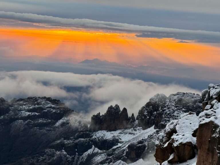
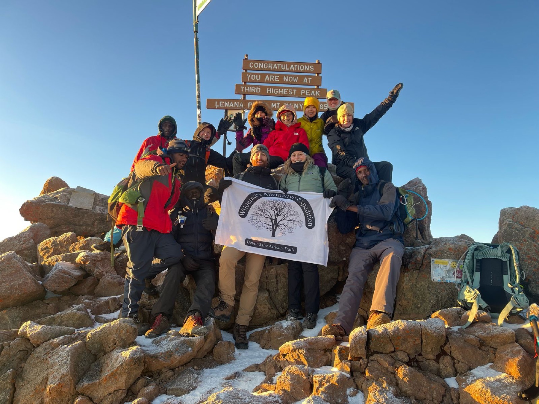
Point Lenana is where trekking routes from different sides of the massif finally meet. Summit mornings usually begin before dawn, with headtorches moving above the high camps and the first light reaching the rock towers as the team climbs. The terrain is steep, cold and often loose underfoot, but on the normal trekking lines it is not multi-pitch technical climbing.
The quality of the summit day is built earlier: in a route that gains height sensibly, meals that keep energy up, honest conversations about symptoms and a pace that belongs to the group rather than the clock. Our guides monitor how guests walk, speak, eat and recover. They will slow the team, change a plan or descend when that is the right mountain decision.
Reaching Point Lenana is a major high-altitude achievement in its own right. It should never be confused with Batian or Nelion, and trekkers are not exposed to the technical climbing hazards of those rock routes simply because they share the same mountain.
Technical Mount Kenya
Batian and Nelion begin where the trekking journey ends.
These are serious alpine rock climbs planned around the climber’s experience, the correct seasonal face, acclimatisation and current conditions.
Batian — 5,199 m
Batian is Mount Kenya’s highest summit. The North Face Standard Route is a sustained high-altitude climb involving many pitches, route-finding, exposed movement and a complex descent. It is normally considered in the northern climbing season, when the face has the best chance of offering usable conditions.
Across our guiding team, more than 80 successful technical summit ascents of Batian give us deep familiarity with the approach, the climbing day and the decisions that surround it. We begin with the climber’s recent multi-pitch experience and build the expedition from there.
Nelion — 5,188 m
Nelion is usually associated with the southern side of the mountain and the southern rock season. It is also a substantial technical summit with exposed climbing and an involved descent. Howell Hut sits on the summit; the Gate of the Mists separates Nelion from Batian, and crossing it is a major alpine undertaking of its own.
For both peaks, seasonal expectations guide planning, but weather and rock or ice conditions on the mountain govern the final decision.

The high mountain beyond a summit morning
Mount Kenya Summit Circuit
A journey around the central peaks reveals the massif from every side and links its high valleys, cols, tarns and climbing history.
The Summit Circuit is not simply an alternative way to reach Point Lenana. It is a high-level journey around the base of Batian and Nelion, connecting the northern, eastern and southern sides of the massif. The exact line may use places such as Shipton’s, Kami, Hausberg Col, the Teleki side, Austrian Hut, Simba Col or Hall Tarns, depending on the programme and conditions.
It suits experienced trekkers who want to understand the shape of the mountain rather than approach one summit and leave immediately. The days are spent at sustained altitude and involve rougher high-mountain terrain, so we build in acclimatisation before beginning the circuit and allow the weather to influence the route.
Life on the mountain
The experience between walking days matters.
A good camp gives the body a place to recover and the group a place to become a team. It is where boots dry, water bottles are refilled, tomorrow’s route is discussed and a proper meal changes the mood of a cold afternoon.
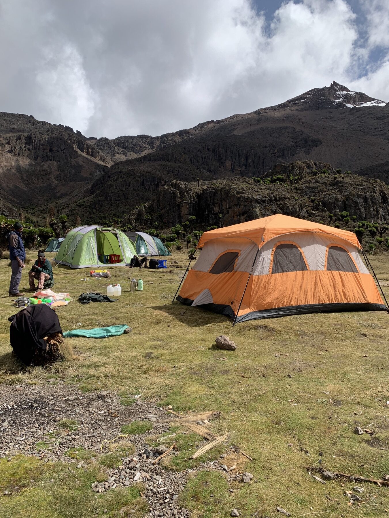


Camps and sleeping
The exact accommodation depends on the route and journey. Sirimon and Naro Moru have established hut and camp locations, while Chogoria and Burguret are more camp-dependent. Where we camp, the mountain team establishes sleeping tents and shared spaces so guests can settle in, change layers and recover. Facilities are practical, and the beauty lies in waking inside the high landscape.
Toilets on Mount Kenya
Established camps generally provide basic mountain latrines. They are functional rather than luxurious and standards vary by location. A headtorch at night and personal hand sanitiser are useful. We ask every guest to leave facilities clean, protect water sources and help the team care for the camp environment.

Eating well on the mountain
Proper food for demanding walking days
Wilderness Alternative takes mountain food seriously. Our cooks prepare filling, varied meals and use fresh ingredients where practical. A typical journey may include soup and bread, vegetables and salads, potatoes, rice or pasta, chicken or other proteins, fruit, desserts, popcorn, biscuits and trail snacks. Tea, coffee, herbal teas and hot chocolate keep appearing for good reason.
Menus change with the route, group and available supplies, so we do not promise the same plate on every expedition. What remains consistent is the intention: food should be properly prepared, satisfying and served with care. We can accommodate many dietary preferences when we know about them in advance.
Drinking water
We avoid carrying unnecessary disposable bottled water onto the mountain. The team collects water from appropriate mountain sources, then boils or treats it for drinking and refills reusable bottles. Guests should arrive with enough reusable bottle or hydration capacity for the day. This is normal professional mountain practice and reduces waste at the same time.
The expedition team
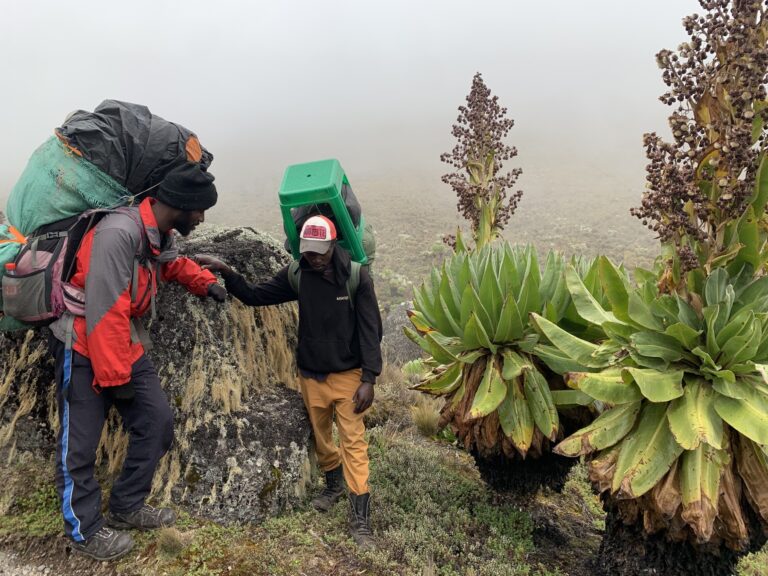
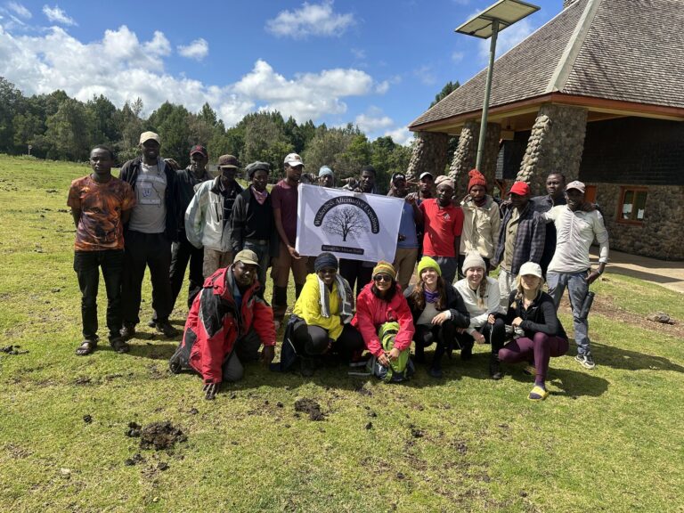
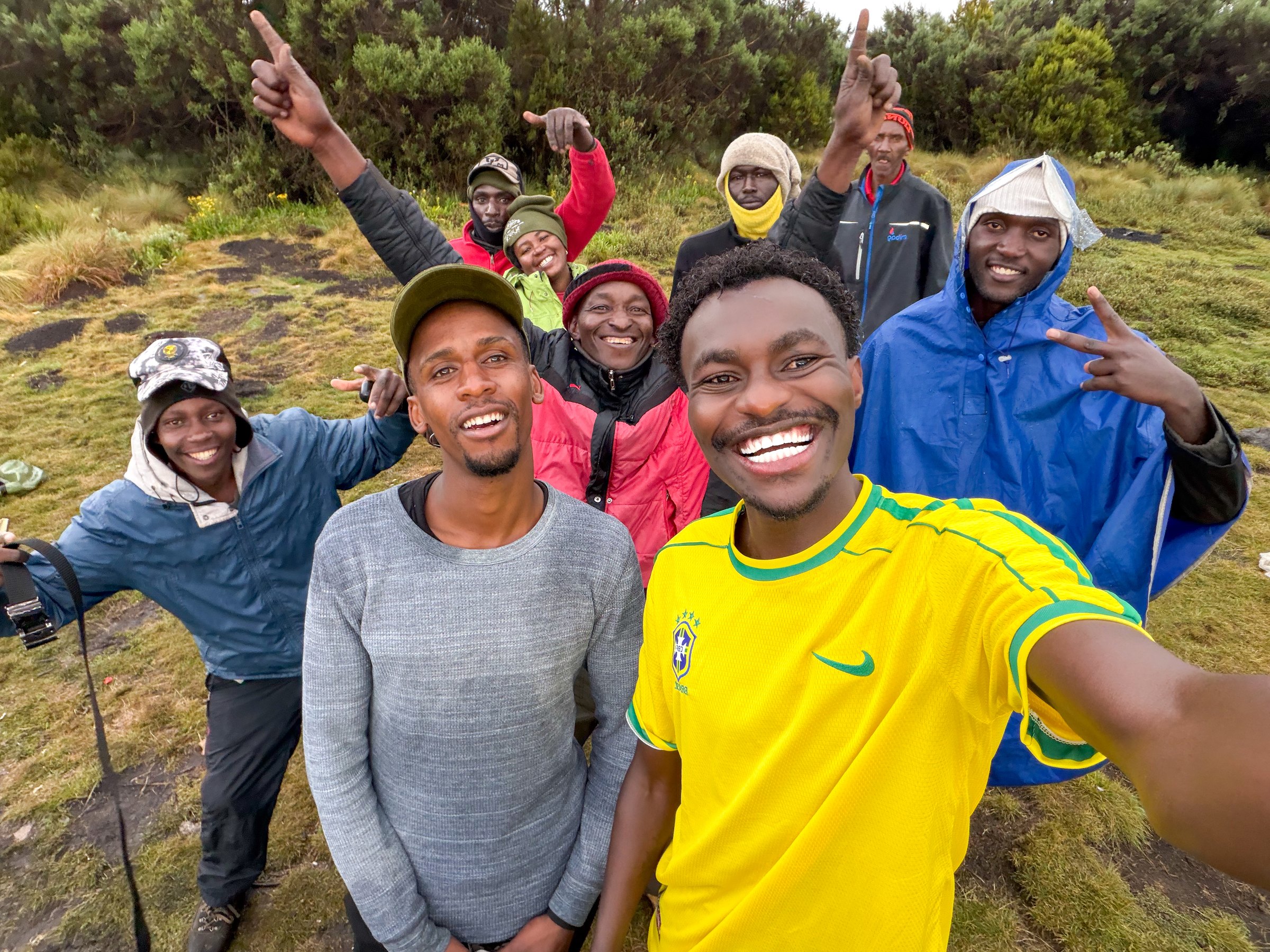
Guides, cooks and porters are not invisible labour behind the trip; they are the expedition team. We deliberately maintain some of the strongest crew pay rates on Mount Kenya and plan loads to avoid overloading. Experienced, respected teams build better camps, prepare better meals, retain hard-won mountain knowledge and support guests with stronger morale.
A strong mountain journey is built through shared effort, encouragement and good humour—on the trail and around camp.
Weather and when to climb
Choose the season, then stay responsive to the mountain.
Mount Kenya can move from bright equatorial sun to cloud, rain, hail or snow within the same journey. Good planning creates options rather than false certainty.
Trekking is commonly planned for the relatively drier periods around January and February, and from July into September or early October. These are useful patterns, not guarantees. The long rains are generally associated with March to May and the shorter rains with October to December, but timing and intensity vary. We confirm current access and prepare every group for cold, wet and strong sun in any season.
Technical climbing is face-specific. Southern rock routes are generally considered from late December to mid-March; northern rock routes from late June to mid-October. The final decision still belongs to the conditions on the face. Our job is to arrive in the right season with enough acclimatisation and enough flexibility to use a good weather window.
Altitude and acclimatisation
Good acclimatisation is created through pacing, route design and honest communication.
Fitness helps you walk, but acclimatisation is a different process. Strong athletes and first-time trekkers alike need time to adapt as sleeping elevations rise. The advantage of a well-planned Mount Kenya journey is that we can use the character of the route—especially the progression of Sirimon and an additional fifth day—to make the ascent more measured.
Our guides watch more than a single symptom. Pace, coordination, appetite, conversation and recovery after the day’s walk all contribute to the picture. Guests are encouraged to say early when something feels different. That lets the guide respond while options are still simple: slow the pace, rest longer, adjust the day or descend if necessary.
What our experience changes
- We set a pace that can be sustained, especially on the first two days.
- We use route and camp choices to make the sleeping profile work.
- We treat appetite, hydration and rest as part of summit preparation.
- We ask guests to communicate symptoms without embarrassment.
- We make decisions for the whole person, not only for the summit schedule.
Fitness and preparation
Train for repeated mountain days, not one heroic effort.
Point Lenana does not require elite athleticism, but it rewards a body that is comfortable walking uphill, recovering and doing it again the next morning.
Build consistent endurance
Start with regular cardiovascular work and progressively longer walks. Hills, stairs or sustained incline make training more specific than flat distance alone.
Practise consecutive days
Back-to-back walks teach you how feet, legs and energy recover. Use the footwear and daypack you expect to take onto the mountain.
Prepare for uneven ground
Forest mud, moorland paths, rock, scree and long descents ask for balance as well as fitness. Trekking poles can be useful, especially when the ground is wet.
Carry the essentials yourself
Water, snacks, waterproofs, insulation, sun protection, personal medication and a headtorch stay in your daypack. Important layers should never be separated from you.
Ecology, geology and landscape
An old volcano reshaped by ice.
Mount Kenya is the eroded core of an ancient extinct volcano. Its principal activity took place millions of years ago; erosion and repeated glaciation then cut the deep valleys, cirques and basins that hold today’s tarns. The central peaks are resistant remnants of a volcanic structure once far larger than the mountain we see now.
Walking into that history means crossing distinct ecological zones. Montane forest gives way to bamboo, giant heath and open moorland. Above 3,000 metres, tussock grass, giant groundsels and lobelias occupy the specialised Afro-alpine zone, adapted to intense daytime sun and freezing nights. Continuous vegetation eventually thins into rock, scree and remnant ice beneath the peaks.
Rock hyrax and high-altitude birds may be seen in the upper country; larger wildlife lives mainly in the forests below. Sightings are never guaranteed. We give animals space, stay on established trails and leave alpine plants exactly where they grow.
Mount Kenya is also a living cultural landscape with deep significance for communities around its slopes, including Kikuyu, Embu and Meru communities. We treat that history as part of the mountain—not as an ornament added to a trekking story.
Responsible mountain travel
Leave the mountain strong enough for the next journey.
Carry rubbish down
Our expedition rubbish comes off the mountain with us. We reduce disposable packaging, separate what can be managed after the trip and ask guests to keep every small item with the team.
Protect water and camps
We use established camps and durable ground, keep soap and waste away from streams and follow local instructions for sanitation. Camps should be left clean and ready for those who follow.
Respect fragile vegetation
High-altitude plants grow slowly. We stay on trails, avoid widening paths and do not cut across living moorland for a photograph or a shortcut.
Responsible operations also include people. Sensible loads, fairer pay and a team whose experience is heard are part of how we care for Mount Kenya. Good environmental practice and good crew welfare belong to the same expedition standard.
Mount Kenya questions
Practical answers before you choose a journey.
Can a beginner trek to Point Lenana?
Yes. Many first-time high-altitude trekkers reach Point Lenana with suitable fitness, enough days, good equipment and a well-paced ascent. It is a demanding 4,985-metre trek, so preparation and acclimatisation still matter.
Is Point Lenana the summit of Mount Kenya?
Point Lenana is the principal trekking summit. Batian, at 5,199 metres, is the highest point; Nelion is 5,188 metres. Batian and Nelion require technical climbing.
Do I need ropes for Point Lenana?
Ropes are not ordinarily used on the normal trekking approaches. Summit terrain is steep and rocky, and unusual snow or ice can change conditions, so the guide assesses the mountain that is actually present.
Which Mount Kenya route is best?
There is no universal best. Sirimon offers a progressive northern ascent; Chogoria has the richest lakes-and-valleys landscape; Naro Moru is direct; Burguret is quieter and more expeditionary. A Sirimon–Chogoria traverse is a particularly complete first journey.
Why take five days instead of four?
A fifth day can improve the sleeping-altitude progression, allow an acclimatisation walk or route variation, protect recovery before summit morning and create more time in the landscape. It is often the better choice for guests without recent altitude experience.
Will I sleep in huts or tents?
It depends on the route and programme. Sirimon and Naro Moru have established hut and camp locations; Chogoria and Burguret rely more on camping. We confirm the arrangement for the specific departure.
What is the food like?
Our cooks prepare varied, filling meals using fresh ingredients where practical. Expect a mix of soups, breads, vegetables, carbohydrates, proteins, fruit, desserts and hot drinks. Menus vary, and many dietary preferences can be accommodated with advance notice.
How is drinking water managed?
The team collects water from appropriate mountain sources, then boils or treats it for drinking. Guests refill reusable bottles or hydration systems rather than relying on disposable bottled water.
What are the toilets like?
Established camps generally have basic mountain latrines. They are functional rather than luxurious and vary by location. Bring a headtorch and hand sanitiser, and help the team leave facilities clean.
How cold does Mount Kenya get?
High camps and pre-dawn summit approaches can fall below freezing. A proper layering system, waterproof shell, insulated jacket, warm hat, gloves and an appropriate sleeping bag are essential.
Can I climb Mount Kenya throughout the year?
Trekking is possible in many months, but the drier periods are usually more attractive. Technical rock climbing is strongly seasonal by face. We plan around the objective and then respond to actual weather and route conditions.
Can Wilderness Alternative guide Batian?
Yes. Across our mountain team we have more than 80 successful technical summit ascents of Batian. We first discuss the climber’s recent experience, preferred dates and acclimatisation before proposing the expedition.
Can Mount Kenya be combined with safari or the coast?
Yes. Laikipia and central Kenya combine naturally with the mountain, and the Maasai Mara or coast can follow. We keep enough recovery time and do not compress the climb merely to fit another destination.
Plan a Mount Kenya journey
Tell us how you like to walk, and we will help choose the right side of the mountain.
Share your preferred dates, recent trekking, altitude experience and whether Point Lenana, the Summit Circuit or a technical peak is the objective. We will recommend a route and number of days grounded in the journey you actually want.
Practical route and access facts are checked against current Kenya Wildlife Service information and specialist Mount Kenya guidance; time-sensitive details are reconfirmed before every departure.