Mount Kenya’s principal trekking summit
Point Lenana is a high-altitude mountain objective—not a technical climb.
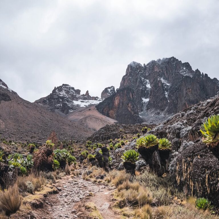
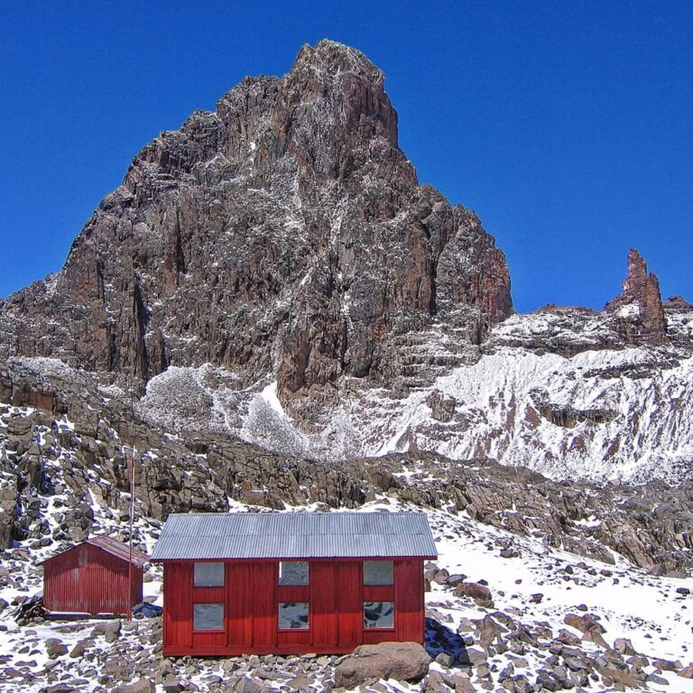
At 4,985 metres, Point Lenana stands above nearly every summit in Africa and gives trekkers a close view of Mount Kenya’s central rock peaks. Batian and Nelion rise higher, but both require technical climbing. Point Lenana is reached on foot by experienced trekkers with a guide, sound acclimatisation and the ability to move over steep, rocky terrain in cold and darkness.
The distinction matters. “Trekking summit” does not mean easy. The air is thin, the pre-dawn start is cold, and snow or ice can change the character of the upper path. A successful journey begins several days earlier with conservative altitude gain, adequate food and water, honest health checks and a programme that allows the body time to respond.
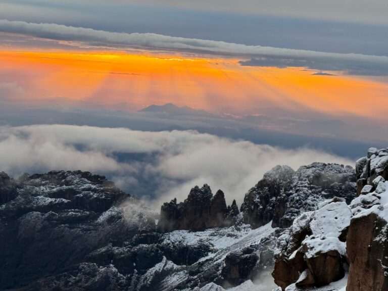
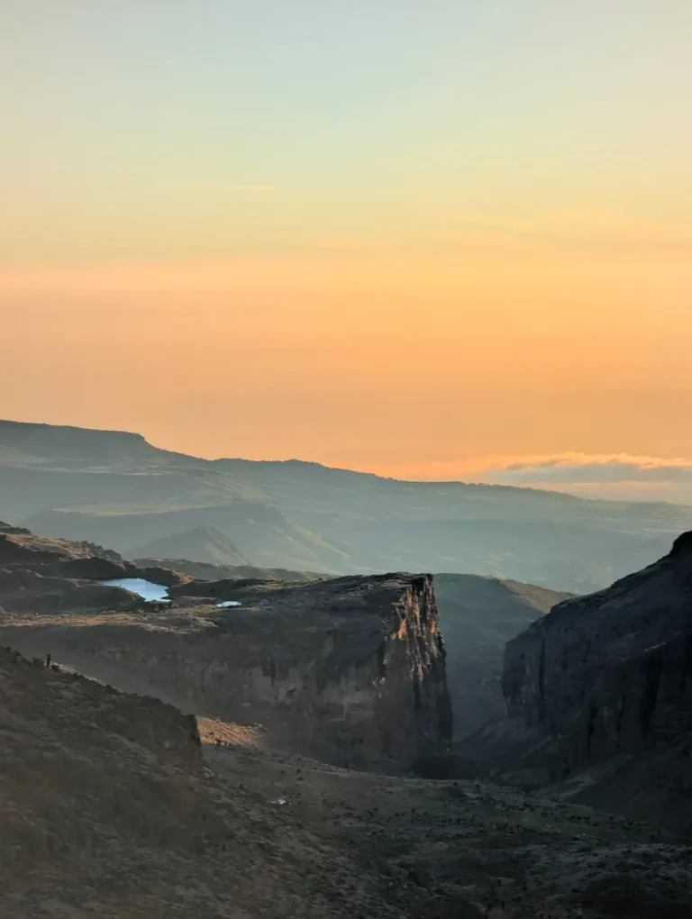
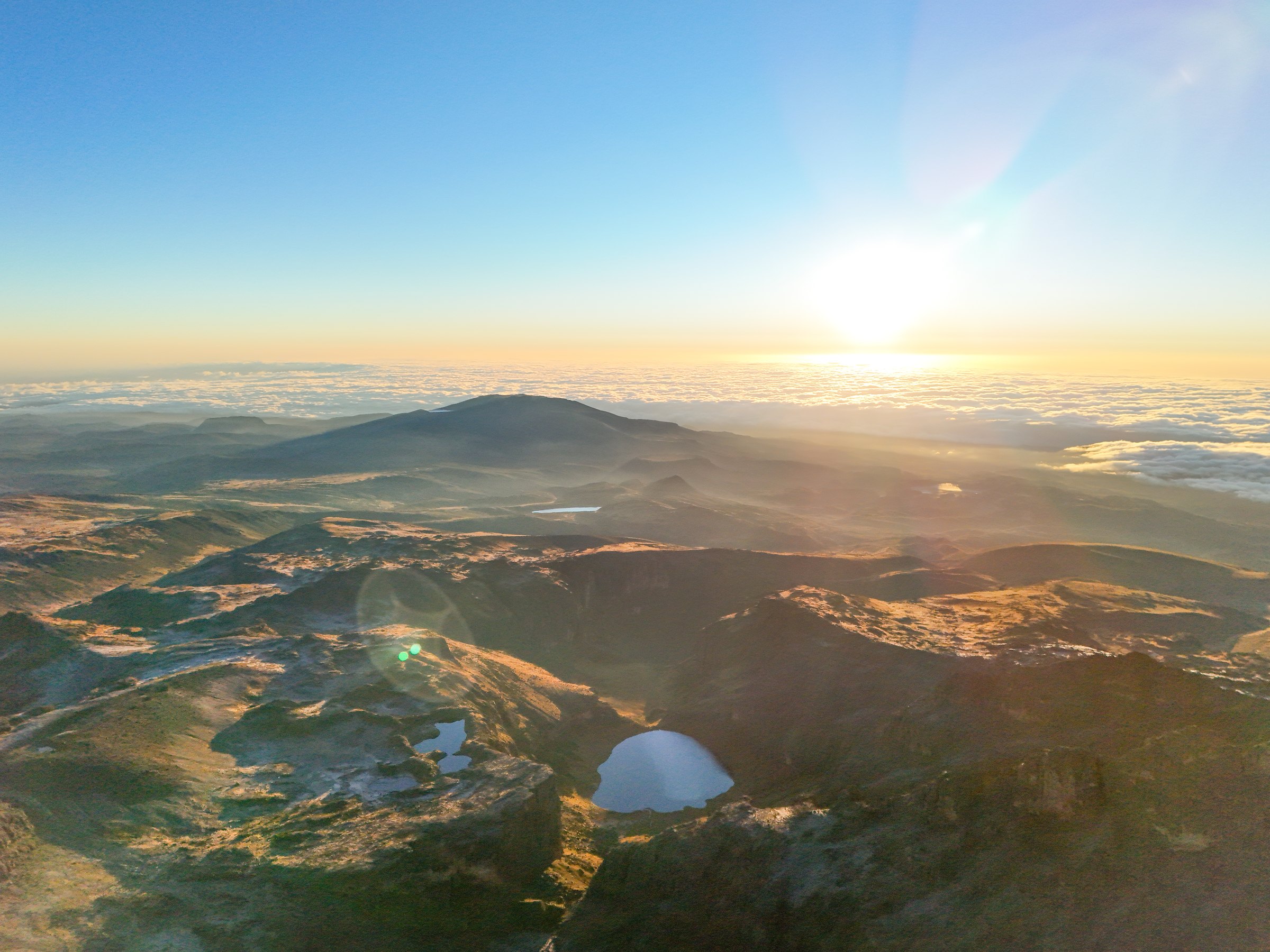
Most teams aim to arrive around sunrise. The light can reveal Batian, Nelion, the Lewis Glacier basin and the long shoulders of the mountain, but weather decides the view. The summit remains worthwhile in cloud: the achievement is the journey through Mount Kenya’s ecological zones and into its high glacial landscape.
Three principal approaches
The summit is one point; the journey can be entirely different.
Sirimon
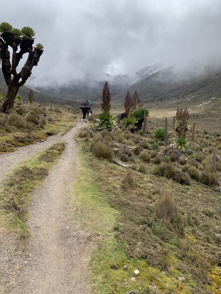
A progressive northern approach through Old Moses, Shipton’s and the Mackinder Valley. It often gives a clear acclimatisation structure before the final ascent.
Explore SirimonChogoria
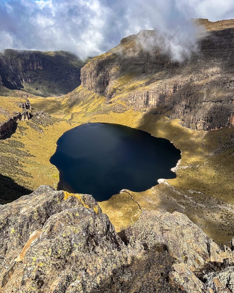
An eastern journey through Lake Ellis, Gorges Valley and Lake Michaelson. The final link may use the Simba Tarn side depending on the programme.
Explore ChogoriaNaro Moru
A direct western approach through the Vertical Bog and Teleki Valley, connecting to the southern high route via Mackinder’s and the Austrian side.
Explore Naro MoruA traverse usually makes a richer expedition than returning the same way. It also lets the programme use one route for gradual ascent and another for descent, subject to weather, park access and the group’s condition.
The summit day
Cold, rhythm and judgement before dawn.
Before departure
The guide checks weather, headtorches, warm layers, water, food and how each guest has slept. A summit attempt should never proceed automatically because it appears on an itinerary. Symptoms of altitude illness, unsafe ground or severe weather can require a later start, a changed objective or descent.
On the upper path
Movement is deliberate. Loose rock, frozen sections and darkness reward short steps and close spacing. Trekking poles are useful lower down; the guide decides whether microspikes or another traction aid is appropriate for current snow and ice.
At the summit
Time on top is governed by wind, temperature and the team. Photographs come after warm clothing and stable footing. The descent requires concentration: many slips happen after the psychological high point, when people are tired and the sun begins to soften frozen ground.
After the summit
Most programmes continue down to a lower camp or exit route. Eating, rehydrating and keeping an even pace remain part of the summit day; reaching the sign is not the end of the mountain responsibility.
Acclimatisation
Fitness cannot bargain with altitude.
Go high gradually
Sleeping-height progression matters more than a fast lowland walking pace. Extra time can improve comfort and create options if weather interrupts the plan.
Report symptoms early
Headache, nausea, unusual fatigue, dizziness, confusion or breathlessness at rest require attention. Hiding symptoms makes decisions harder, not braver.
Hydrate normally
Drink regularly, eat properly and avoid forcing excessive water. Urine, thirst and general wellbeing are more useful than chasing an arbitrary volume.
Descent is treatment
If serious altitude illness is suspected, the priority is medical judgement and descent—not preserving a summit plan.
Weather and ground
Equatorial does not mean warm at 4,985 metres.
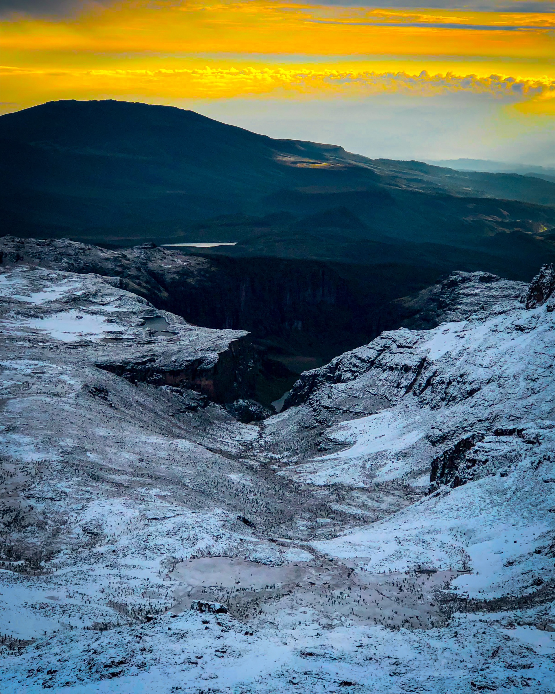
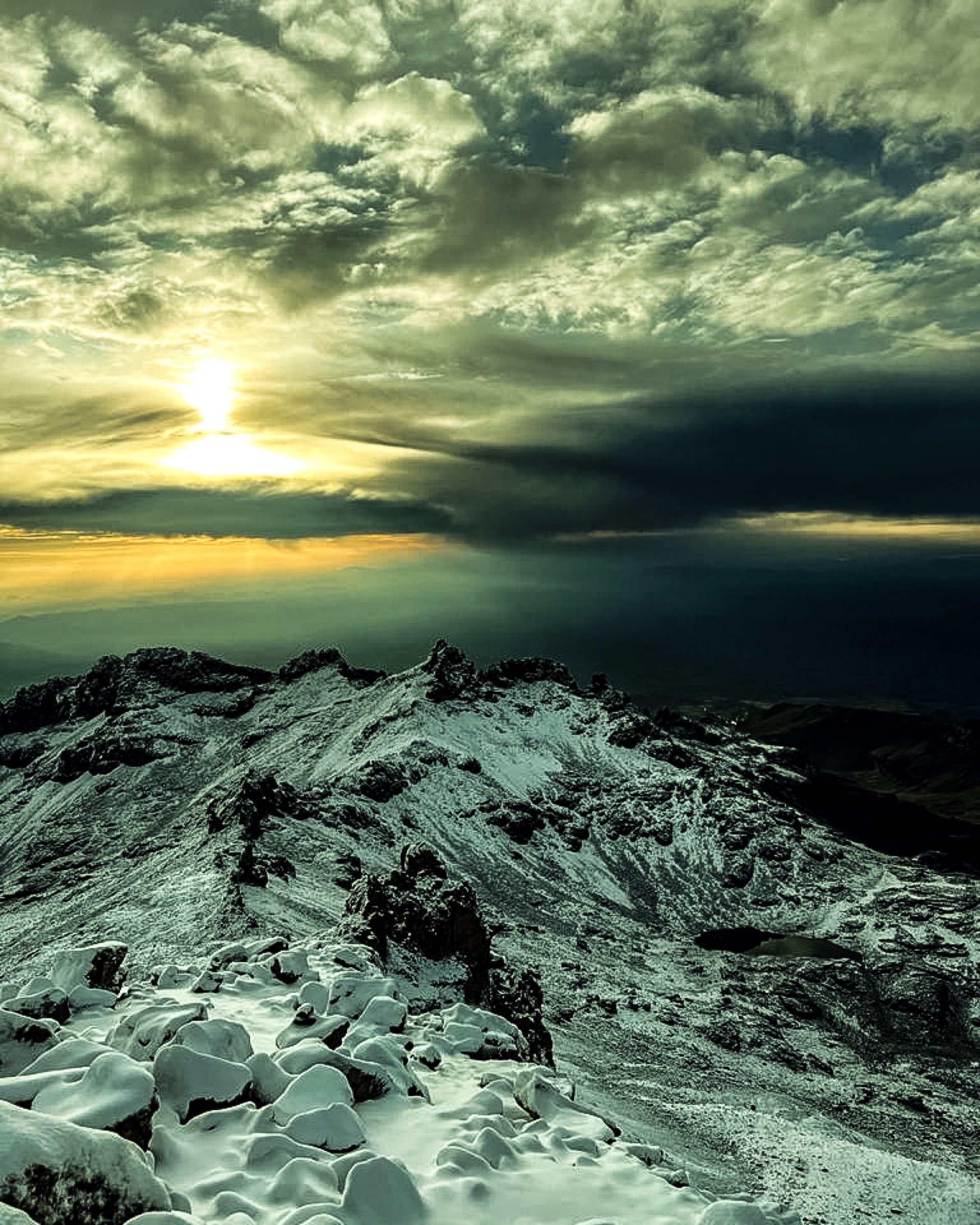
Mount Kenya can move from clear starlight to cloud, wind, sleet or snow in a short period. Day and night temperatures differ sharply, and shaded ground can remain frozen after sunrise. A dry-season date improves the probability of stable weather but never guarantees it.
Guests should carry an insulating layer, waterproof shell, warm hat, gloves and spare dry protection within reach. Cotton is a poor choice for the upper mountain. Footwear must be broken in before arrival and capable of holding securely on rock and rough trail.
Current conditions determine the final kit advice. Snow equipment is not described as standard unless it is genuinely required and confirmed for the departure.
Choose the whole journey
Plan around the mountain, not only the summit sign.
Tell us your recent hill days, highest sleeping altitude, preferred route, available time and whether lakes, quieter camps, photography or a traverse matter most. We then shape the approach and descent around acclimatisation and current conditions.
Point Lenana does not prepare a climber for Batian or Nelion. Those objectives require a separate technical assessment, equipment plan and climbing programme.
Point Lenana questions
Clear answers before the high mountain.
Is Point Lenana a technical climb?
No. It is a high-altitude trekking summit. Steep, rocky, snowy or icy conditions can still require careful movement and guide judgement.
Which route is best?
There is no universal best route. Sirimon is progressive, Chogoria is rich in lakes and valleys, and Naro Moru is direct. A traverse can combine their strengths.
Is sunrise guaranteed?
No. Teams often time the ascent for sunrise, but cloud, wind, snow and the group’s condition decide what is safe and visible.
Can I climb Batian after Point Lenana?
Only with the independent technical experience, programme and equipment required for Batian. Reaching Point Lenana is not a climbing qualification.
What if I feel unwell?
Tell the guide immediately. The plan may change, and descent can be necessary. Early reporting protects you and the whole team.