A less-travelled southern approach
Kamweti enters Mount Kenya through forest, water and quiet.
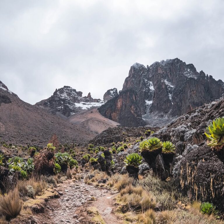
Kamweti is a southern Mount Kenya approach for travellers interested in the mountain beyond its three busiest official-gate routes. The line is associated with the Kutus and Forest Castle side, Kamweti Forest Station, dense forest and bamboo, then giant heather and the upper drainage leading towards the southern high country.
Its appeal is not convenience. Kamweti offers isolation, ecological change and an exploratory way into Mount Kenya. The forest can feel immersive and enclosed; clearings and drainage lines become important navigational features; and the emergence into moorland has a stronger sense of arrival because the lower route has kept the high peaks hidden.
Historical descriptions refer to the Kiringa drainage, the Scoop, Tilman Peak, Lake Höhnel and connections towards Mackinder’s and the Austrian side. Current operational status, access, permissions and the exact line must be verified before these names become a day-by-day promise.
For experienced hikers and repeat visitors, that need for current knowledge is part of the route’s seriousness. A supported Kamweti journey depends on a strong expedition team, appropriate camps, reliable navigation and a route designed around real conditions rather than nostalgia.
Kamweti at a glance
A specialist line requiring live confirmation.
- Approach
- Southern Mount Kenya from the Kutus / Forest Castle side
- Status
- Less-used approach; current access and permissions must be verified
- Lower landscape
- Montane forest, bamboo and giant heather
- Water system
- Kiringa drainage and associated southern valleys
- Historic features
- The Scoop, Tilman Peak and Lake Höhnel require contemporary verification
- High connection
- Southern side towards Mackinder’s / Austrian country where valid
- Character
- Isolated, forested, exploratory and camp-based
- Best for
- Experienced hikers, solitude seekers and repeat visitors
The forest approach
The mountain stays hidden for longer.
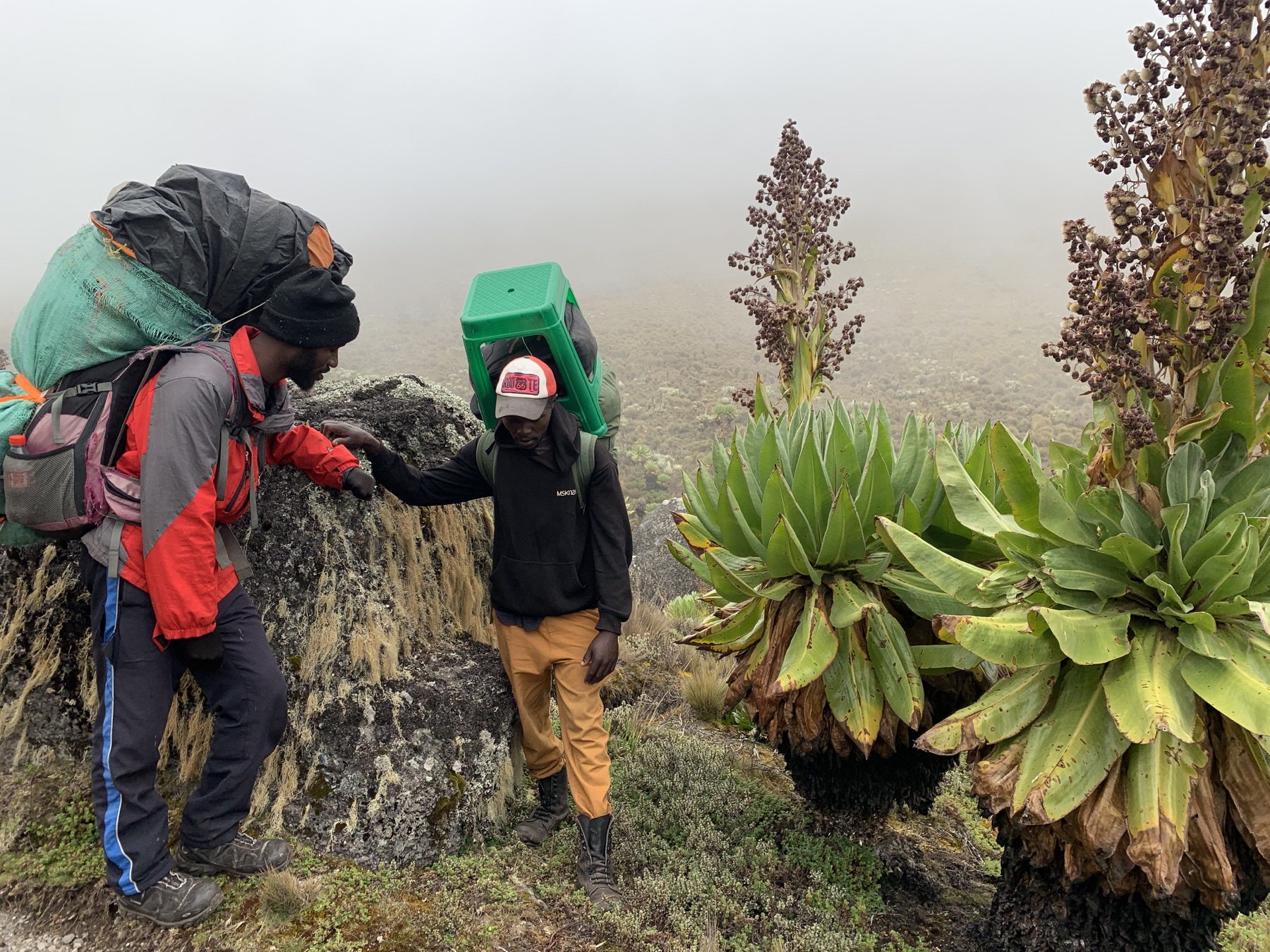
Kamweti’s lower route belongs to Mount Kenya’s wetter southern ecosystem. Montane trees, bamboo and giant heather create a layered environment where trail condition and visibility can change quickly. The experience is intimate rather than panoramic.
Forest travel deserves professional planning. Camp ground must drain well, water sources need protection, route-finding must reflect current use, and wildlife signs are treated with caution. Large animals may occupy lower mountain habitat, but sightings are never guaranteed and the team follows current park guidance.
When the route finally enters open moorland, the change is dramatic. Wind, sun and long views replace the shelter of the forest, while the central mountain begins to organise the horizon.
Towards the southern high mountain
Names from history must meet present conditions.
Forest Station
The practical start depends on current access, entry procedure and vehicle reach.
Bamboo and heather
Dense vegetation and waterlogged ground can slow progress and make camp selection important.
Kiringa drainage
Watercourses and valley geometry shape the ascent; source reliability is checked for the season.
Southern connection
The historic line towards Lake Höhnel, Tilman Peak and Mackinder’s is verified before use.
Practical Kamweti
A route for a prepared expedition.
Access and permission
Kamweti is not one of the three principal official-gate routes. Current approval and entry instructions are confirmed with park management.
Navigation
Dense forest, changing tracks and limited traffic require recent local route knowledge and conservative decision-making.
Camps
Facilities are limited. The crew provides a camp-based operation on durable, well-drained ground.
Water
Streams are handled as protected sources, not informal washing areas. Drinking water is boiled or treated.
Weather
The southern side can be wet. Waterproofs, dry systems and flexible timing are fundamental.
Altitude
The forest may dominate the early days, but the route still reaches high alpine terrain and needs a measured sleeping profile.
Who Kamweti suits
Travellers interested in Mount Kenya’s quieter southern ecology.
- Experienced hikers comfortable with wet forest terrain.
- Repeat visitors seeking a non-standard approach.
- Small private groups who value solitude.
- Travellers who enjoy camp-based expedition life.
- Guests willing to let current access shape the exact line.
- People more interested in exploration than built facilities.
Kamweti questions
What must be confirmed.
Is Kamweti currently open to trekkers?
Access and operational status are time-sensitive. We confirm them with the relevant authority for the proposed dates before offering a detailed journey.
Is Kamweti a route to Point Lenana?
Historic lines connect the southern approach towards Mackinder’s and the Austrian side, from where Point Lenana can be reached. The contemporary route must be verified.
Are there huts?
Infrastructure is limited and the route should be expected to operate as a supported camping journey.
Is it suitable for first-time trekkers?
It is best suited to experienced hikers who already enjoy multi-day camp travel. First-time high-altitude guests may prefer a main route with more established infrastructure.
Why choose Kamweti?
For forest immersion, solitude, southern ecology and a less-travelled line into the massif.
Plan a Kamweti approach
Explore Mount Kenya from the quiet south.
Tell us your dates and recent hiking experience. We will verify present access, permissions and the live route before proposing a programme.