
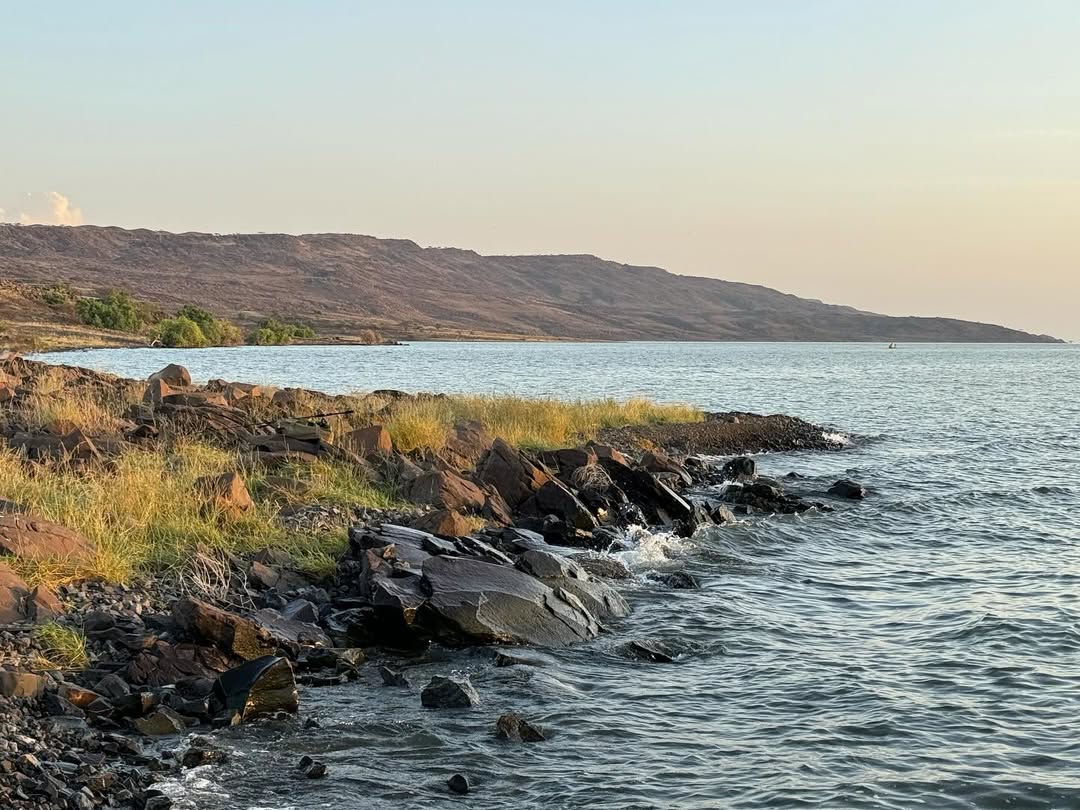
Wilderness Alternative Expedition guide to Central Island
Central Island rises from Lake Turkana as a concentration of the Rift: dark cones, crater rims, enclosed lakes and intense heat surrounded by restless water. At about five square kilometres, the park is small on a map, but reaching it safely and walking its volcanic ground make it a specialist expedition rather than an ordinary safari excursion.
A volcano within a desert lake
The island contains volcanic cones and crater lakes formed by a long history of eruptions, collapse and erosion. Bare lava, ash and sparse vegetation expose geology that elsewhere lies beneath soil or forest. The contrast between enclosed crater water and the immense outer lake is the central experience.
Heat reflects from rock and the route can be rough. Visitors use authorised landings and paths and do not improvise across unstable crater edges.
Wildlife and birdlife
Central Island forms part of the UNESCO Lake Turkana National Parks property, important for Nile crocodile breeding, waterbirds and the wider aquatic ecosystem. Flamingos may use crater or lake habitats when food and water conditions suit them. Neither crocodiles nor flamingos are guaranteed on a particular visit.
Nests, basking animals and shoreline groups need distance. A boat should never chase crocodiles into water or approach a bird colony for a closer frame.
Boat access from the western shore
KWS guidance describes access from Kalokol by a locally hired boat, with vehicles normally left at the KWS Kalokol camp. Lodwar and Kalokol have the nearest relevant airstrips. This is not a public ferry and no departure is assumed.
Before leaving, we confirm the boat, skipper, engines, fuel, lifejackets, landing point, park arrangements and forecast. Strong wind can cancel or shorten the visit. A safe cancellation is part of responsible expedition design.
What to carry
KWS advises visitors to bring drinking water, food, hiking equipment, fuel and first aid appropriate to the plan. We add sun protection, secure footwear and dry protection for cameras. There is no reason to expect shade, supplies or rescue to be immediate.
Photography with Kenny
From the boat, fast shutter speed and careful horizon control help in short waves. On land, a wide lens gives volcanic scale while a telephoto isolates crater walls and birds. Kenny plans equipment before departure so bags remain closed against spray and dust.
Drone use is not assumed and requires current legal and park authorisation. Wildlife welfare overrides aerial imagery.
How long does a visit take?
The answer depends on departure point, wind, landing and walking plan. It may form a long day from the western shore, but contingency is essential. An itinerary should retain another night rather than linking the return boat directly to a critical flight.
Responsible travel
- Use only a confirmed boat, authorised skipper, landing and KWS procedure.
- Wear lifejackets and accept cancellation when wind builds.
- Carry all water and waste back from the island.
- Keep distance from crocodiles, birds and nesting areas.
- Do not collect lava, fossils, eggs, plants or archaeological material.
Central Island FAQ
Is there regular transport?
No. A suitable boat and park arrangements must be confirmed locally for the specific date.
Can children visit?
Possibly, but age, lifejacket fit, heat, walking ability and lake conditions require an individual assessment.
Will we see flamingos?
They may occur, but water and feeding conditions vary. We do not promise a colony.
Can we swim?
No casual swimming is planned because of crocodiles, waves, remoteness and uncertain conditions.
Plan Central Island safely
Tell us your dates, group, mobility and wider western-shore route. We will confirm KWS access and a suitable boat, then keep a land-based alternative for unsafe wind.
Plan Central Island with Wilderness Alternative Expedition
Boat travel, landings, trails, wildlife and park access depend on KWS requirements, weather and current local operations.